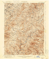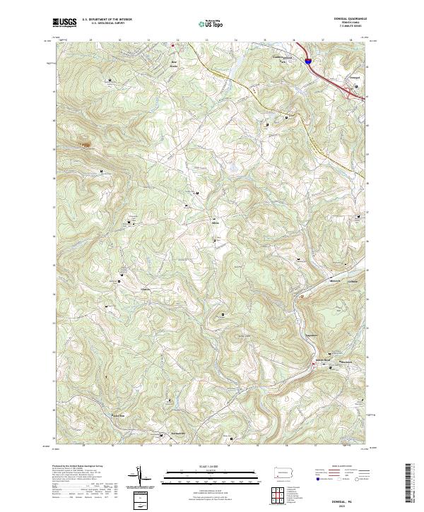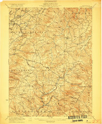
1922 Map of Donegal
USGS Topo · Published 1922About this map
Donegal and the surrounding townships of Westmoreland and Fayette counties appear here during a period of established mountain communities and emerging roadway networks. The landscape is defined by the high ridges of Painter Rock Hill and Spook Hill, where small settlements like Stahlstown and Kregar are connected by early designated routes such as State Highway No 302. The economy of the era is visible in the distribution of local industry and infrastructure, from the Pennsylvania RR lines serving Mammoth and United to the water-powered sites of Hoods Mill and Horner Mill. Local life centers on numerous small institutions, including St Boniface Chapel, Zion Church, and specialized facilities like the Jockey Knob School. The map captures the intricate drainage patterns of Indian Creek and Loyalhanna Creek, which carved the valleys where many of these rural crossroads developed.
Find a feature on this map
118 named features on this map. Tap any name to fly to it.
Don’t see what you’re looking for? This feature index may not catch every label — zoom into the map to look around manually.
Map Details
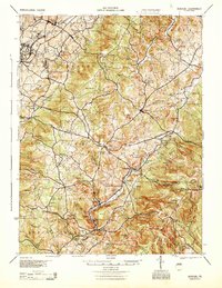
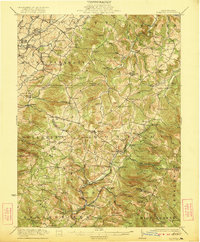
Editions of this 1922 Donegal Map
2 editions found
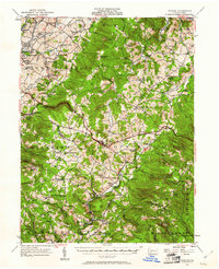
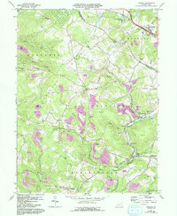
Historical Maps of Donegal Through Time
6 maps found