Old Maps of Bullskin Township, Pennsylvania
Explore 40 old maps of Bullskin Township, spanning from 1902 to today. These high-resolution historic maps reveal how streets, neighborhoods, landmarks, and natural features evolved over time — perfect for genealogy, metal detecting, research, and local history exploration.
What you can do with these maps:
- See how Bullskin Township changed over time: Compare historical maps to modern-day views to trace roads, homesites, rail lines & more.
- View detailed metadata: Each map includes creators, publishers, year, scale, and archive source.
- Overlay maps with satellite & LiDAR: Visualize the past alongside modern tools to explore terrain & human change.
- Trusted historical sources: Maps sourced from the USGS, Library of Congress, and other archives.
- Access maps your way: View online, download high-res files, or order prints for personal or research use.
Start exploring old maps of Bullskin Township to uncover forgotten places, hidden landmarks, and the deep history beneath your feet.
Bullskin Township, PA maps
(40)- 1902 Map of Connellsville
 1902 Connellsville1902 Print · USGSThe Pennsylvania coke region comes alive at the turn of the century as a labyrinth of coal mines and competing rail lines. Researchers can trace the industrial footprint of Star Mines, explore the river landings along the Youghiogheny River, and find old junctions like Bells Mills.5 unique versions available
 - 1922 Map of Donegal
 1922 Donegal1922 Print · USGSWestmoreland and Fayette counties are captured here in the early twenties, showing a landscape of mountain ridges and busy valley crossroads. Genealogists can trace family roots through dozens of rural landmarks like St Boniface Chapel, Hoods Mill, and the Snowball School.2 unique versions available
 - 1931 Map of Connellsville, 1954 Print
 1931 Connellsville1954 Print · USGSSouthwestern Pennsylvania's coal and rail heartland is meticulously detailed here in the early thirties. Local researchers can trace the industrial footprint of Star Mines, the sprawling rail yards of Connellsville, and rural landmarks like Bryner Ch and Mud Sch.2 unique versions available
 - 1935 Map of Donegal
 1935 Donegal1935 Print · USGSWestmoreland County communities are shown here in the 1930s, as coal towns and rural hamlets relied on a network of mountain rail lines and country schools. Genealogists can trace family roots through numerous sites like Stahlstown, the Mansville Post Office, and St Boniface Chapel.2 unique versions available
 - 1936 Map of Connellsville
 1936 Connellsville1936 Print · USGSSouthwestern Pennsylvania during the mid-1930s reveals a landscape of industrial power and rural community along the Youghiogheny River. Genealogists and historians can trace family roots through numerous named schools like Jefferson Sch and Gault Sch, or locate former industrial hubs at Star Mines and the Fairgrounds.3 unique versions available
 - 1944 Map of Donegal, 1945 Print
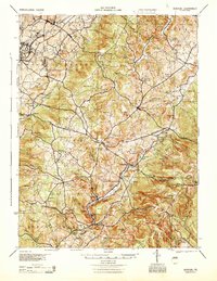 1944 Donegal1945 Print · USGSWestmoreland and Fayette Counties are shown in the 1940s just as the Pennsylvania Turnpike was changing the landscape. Genealogists and historians can trace dozens of rural schools and churches, from Stauffer Sch to St Boniface Chapel.
 - 1953 Map of Pittsburgh
 1953 Pittsburgh1953 Print · USGSWestern Pennsylvania's industrial landscape at the start of the fifties shows the steel and rail corridors between Pittsburgh and Altoona. Trace family roots in river towns like Tarentum or follow the Pennsylvania Turnpike across Laurel Hill.
 - 1954 Map of Pittsburgh
 1954 Pittsburgh1954 Print · USGSWestern Pennsylvania in the early fifties remains a powerhouse of heavy industry and vital transit corridors. Genealogists and historians can trace the rail-and-river network connecting Pittsburgh, Johnstown, and Altoona via the Pennsylvania RR and the Lincoln Highway.2 unique versions available
 - 1957 Map of Donegal
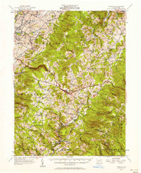 1957 Donegal1957 Print · USGSWestmoreland and Fayette counties are captured here in the late fifties, showing the rural communities along the western slopes of the Laurel Highlands. Genealogists can trace family roots through numerous local landmarks like Norvelt, the Baltimore and Ohio rail line, and the many rural schools including Hurst High School.2 unique versions available
 - 1958 Map of Pittsburgh
 1958 Pittsburgh1958 Print · USGSWestern Pennsylvania in the late fifties shows an industrial heartland defined by the confluence of the Allegheny River and Monongahela River. Researchers can trace the sprawling rail networks of the Pennsylvania RR and find established towns like Butler, Latrobe, and Windber.5 unique versions available
 - 1959 Map of Pittsburgh
 1959 Pittsburgh1959 Print · USGSWestern Pennsylvania in the late fifties is captured here at the height of its industrial era. Genealogists and historians can trace the riverfront growth of Pittsburgh, the rail works at Altoona, and the mountain gaps of Laurel Hill.
 - 1964 Map of Pittsburgh
 1964 Pittsburgh1964 Print · USGSWestern Pennsylvania in the late fifties and early sixties shows a landscape of powerful river industries and expanding highways. Genealogists and historians can trace the rail corridors of the Pennsylvania RR through industrial hubs like Johnstown, Altoona, and Nanty Glo.
 - 1964 Map of Mount Pleasant, 1965 Print
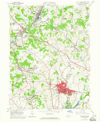 1964 Mount Pleasant1965 Print · USGSMid-century Westmoreland County is defined here by its dense network of coal patches, rail lines, and manufacturing hubs. Genealogists can trace family roots through numerous small communities like Rufis Dale, Hecla, and Armbrust, or locate ancestral plots in the Polish Cemetery.5 unique versions available
 - 1964 Map of Connellsville, 1966 Print
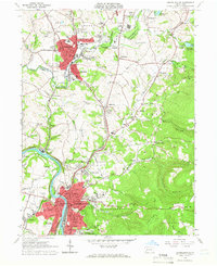 1964 Connellsville1966 Print · USGSMid-century Fayette and Westmoreland Counties are defined here by a dense network of industrial rail lines and riverside towns. Genealogists and historians can trace the foundations of Connellsville, locate West Overton, and find landmarks like St Ritas Cem.5 unique versions available
 - 1967 Map of Mammoth, 1970 Print
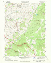 1967 Mammoth1970 Print · USGSWestmoreland County in the late sixties reveals a busy industrial landscape of coal mining towns and hilltop churches. Genealogists can trace family footprints through numerous local sites like Forty Mourners Ch, St Florian Sch, and the Fairground near Mutual.4 unique versions available
 - 1967 Map of Donegal, 1971 Print
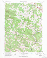 1967 Donegal1971 Print · USGSThe Westmoreland and Fayette county line follows the crest of Chestnut Ridge in the late 1960s. Genealogists and historians can locate remote landmarks like Mt Salem Ch, Brown Cem, and the rail corridor serving Indian Head.4 unique versions available
 - 1986 Map of Pittsburgh East
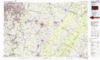 1986 Pittsburgh East1986 Print · USGSWestern Pennsylvania in the mid-eighties shows a landscape defined by industrial rivers and rising mountain ridges. Trace the dense rail networks of CONRAIL and the Pittsburgh and Lake Erie RR connecting historic centers like Monessen, Jeannette, and Connellsville.3 unique versions available
 - 1993 Map of Mount Pleasant
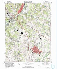 1993 Mount Pleasant1993 Print · USGSMount Pleasant and the surrounding coal-patch villages of Westmoreland County appear in the early nineties as the region balanced its industrial roots with modern highway growth. Local historians can trace old community sites like Standard Shaft, Weavers Old Stand, and Hecla (Southwest PO).
 - 1997 Map of Mount Pleasant, 2000 Print
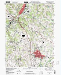 1997 Mount Pleasant2000 Print · USGSWestmoreland County at the close of the twentieth century shows a landscape shaped by coal and transit. Genealogists and historians can trace the Standard Shaft and Polish Cemetery or locate old school sites like Alverton School.
 - 1997 Map of Mammoth, 2000 Print
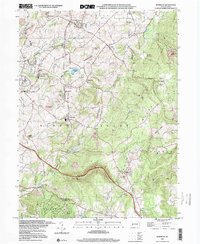 1997 Mammoth2000 Print · USGSWestmoreland County at the close of the century shows a landscape transitioning from active coal extraction to recreation and residential life. Genealogists and local historians can locate early parish landmarks like St Lukes Cem, trace the Abandoned Railroad, and find local curiosities like the Drive-in Theater.
 - 2010 Map of Connellsville, 2010 Print
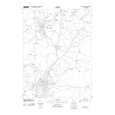 2010 Connellsville2010 Print · USGSWestern Pennsylvania’s river-bound industrial corridor is captured here at the start of the 2010s. Genealogists and local researchers can pinpoint family locations near Connellsville, Scottdale, and numerous parish sites like Saint Emorys Cemetery.
 - 2010 Map of Donegal, 2010 Print
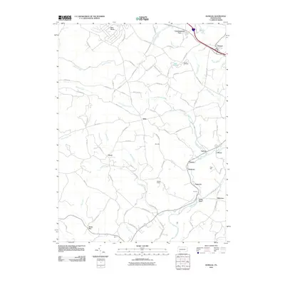 2010 Donegal2010 Print · USGSWestmoreland County’s rolling hills and creek valleys are captured in the late 2000s, showing a landscape defined by small hamlets and rural school roads. Genealogists and local historians can locate early burial grounds like Brown Cemetery and trace the paths of Indian Creek through Indian Head and Melcroft.
 - 2010 Map of Mount Pleasant, 2010 Print
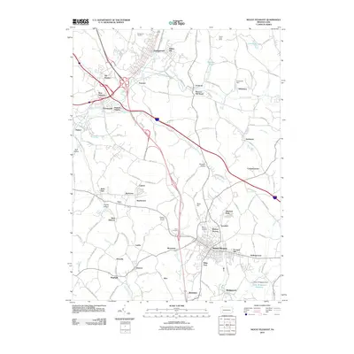 2010 Mount Pleasant2010 Print · USGSMount Pleasant and the surrounding Westmoreland County townships appear here during a period of modern connectivity and suburban growth. Genealogists and local historians can pinpoint family burial sites at Polish Cemetery and trace historical settlement patterns at Weavers Old Stand or Standard Shaft.
 - 2010 Map of Mammoth, 2010 Print
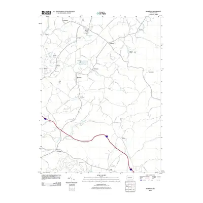 2010 Mammoth2010 Print · USGSWestmoreland County communities are shown in this contemporary study of Pennsylvania's coal-patch heritage and rural landscapes. Genealogists and local historians can trace the roads connecting Kecksburg, the Porch Mine, and Saint Lukes Cemetery.
 - 2013 Map of Connellsville, 2013 Print
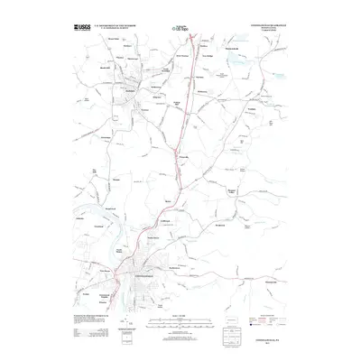 2013 Connellsville2013 Print · USGSWestern Pennsylvania’s industrial and residential corridors are frozen in time during the early twenty-first century. Genealogists and local historians can trace family locations through Scottdale, Everson, and Connellsville or locate landmarks like the Bullskin Fairgrounds.
Showing maps 1-25 of 40
Top cities near Bullskin Township
- Greensburg historical maps
- Uniontown historical maps
- Connellsville historical maps
- Latrobe historical maps
- Scottdale historical maps
- Mount Pleasant historical maps
See more
Top neighborhoods of Bullskin Township
- Moyer historical maps
- Pennsville historical maps
- Pleasant Valley historical maps
- Wooddale historical maps
- Breakneck historical maps
- Coldbrook historical maps
See more
Frequently asked questions
- What are the different types of historical maps available for Bullskin Township?
- What is the oldest map of Bullskin Township?
- Where can I purchase historical maps of Bullskin Township for my home or office?
- Where can I download high-res historical maps of Bullskin Township?
- Are there historical topographic maps available for Bullskin Township?
- Is there historical aerial imagery available for Bullskin Township?
- Where are historical maps of Bullskin Township sourced from?