
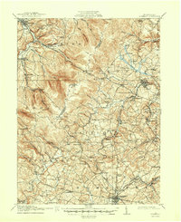
1915 Map of Somerset
USGS Topo · Published 1915About this map
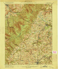
Somerset serves as the focal point for this 1915 survey of the Pennsylvania highlands, where the local economy transitioned between agriculture and heavy industry. The landscape is defined by the prominent Laurel Ridge, which creates a natural barrier between Westmoreland and Somerset counties. Transportation through this difficult terrain was facilitated by the Pittsburgh and Philadelphia Turnpike and the Pittsburgh Westmoreland and Somerset RR, which followed the winding paths of Loyalhanna Creek and Quemahoning Creek.
Find a feature on this map
102 named features on this map. Tap any name to fly to it.
Don’t see what you’re looking for? This feature index may not catch every label — zoom into the map to look around manually.
Map Details
Editions of this 1915 Somerset Map
6 editions found
Other maps of this area

1900 · Latrobe
USGS Topo · 1:62,500

1902 · Latrobe
USGS Topo · 1:62,500

1903 · Latrobe
USGS Topo · 1:62,500

1904 · Johnstown
USGS Topo · 1:62,500

1907 · Johnstown
USGS Topo · 1:62,500

1913 · Somerset
USGS Topo · 1:62,500

1914 · Windber
USGS Topo · 1:62,500

1916 · Windber
USGS Topo · 1:62,500

1920 · New Florence
USGS Topo · 1:62,500

1921 · New Florence
USGS Topo · 1:48,000