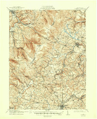
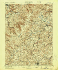
1915 Map of Somerset
USGS Topo · Published 1950About this map
Ligonier and the surrounding high country of the Laurel Hill ridge define the western landscape of this early 20th-century survey. The terrain is marked by the deep transit history of Pennsylvania, featuring the historic Forbes Road and the Pittsburgh And Philadelphia Road winding through the gaps. Industrial and transit development is evident in the Quemahoning Tunnel and the specialized rail lines like the Pittsburgh Westmoreland and Somerset RR, which served the region's timber and coal interests before the full modernization of the state highway system.
Find a feature on this map
111 named features on this map. Tap any name to fly to it.
Don’t see what you’re looking for? This feature index may not catch every label — zoom into the map to look around manually.
Map Details
Editions of this 1915 Somerset Map
6 editions found
Other maps of this area

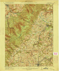
1900 · Latrobe
USGS Topo · 1:62,500

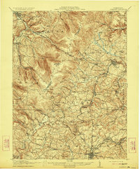
1902 · Latrobe
USGS Topo · 1:62,500

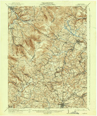
1903 · Latrobe
USGS Topo · 1:62,500

1904 · Johnstown
USGS Topo · 1:62,500

1907 · Johnstown
USGS Topo · 1:62,500

1913 · Somerset
USGS Topo · 1:62,500

1914 · Windber
USGS Topo · 1:62,500

1915 · Somerset
USGS Topo · 1:62,500

1916 · Windber
USGS Topo · 1:62,500

1920 · New Florence
USGS Topo · 1:62,500