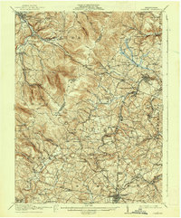
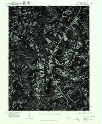
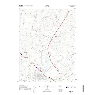
1915 Map of Somerset
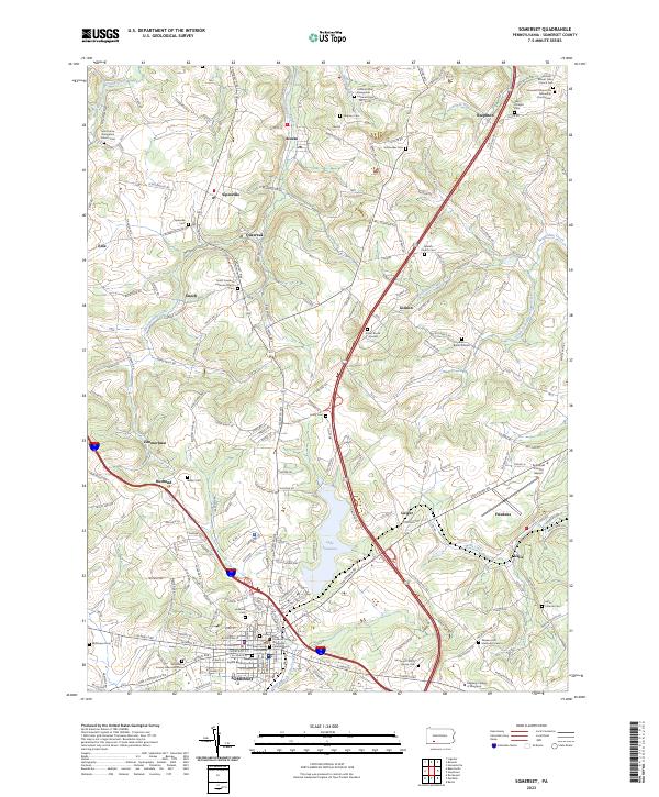
USGS Topo · Published 1944About this map
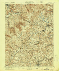
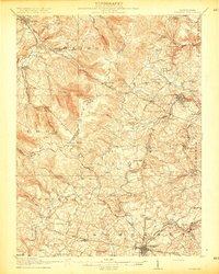
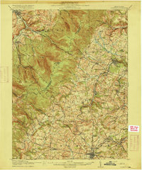
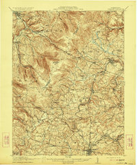
Laurel Hill and Laurel Ridge dominate this topographic study, defining the high-relief boundary between Westmoreland and Somerset counties. The landscape transitions from the valley of Loyalhanna Creek in the northwest to the intricate headwaters of Stony Creek and Quemahoning Creek to the east. This 1912–1913 survey documents a network of rural schools and family-named landmarks during a period of industrial expansion, notably the Quemahoning Tunnel and the developing rail infrastructure of the Baltimore and Ohio RR.
Find a feature on this map
116 named features on this map. Tap any name to fly to it.
Don’t see what you’re looking for? This feature index may not catch every label — zoom into the map to look around manually.
Map Details
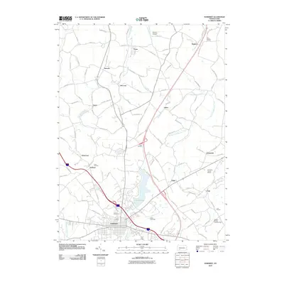
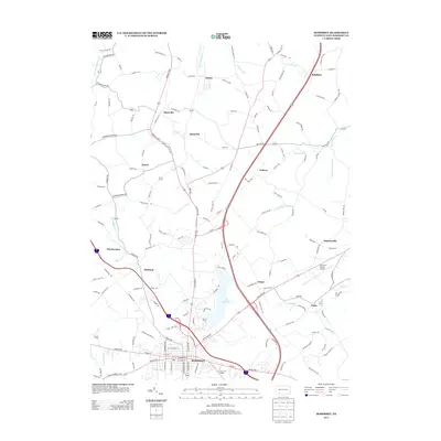
Editions of this 1915 Somerset Map
6 editions found
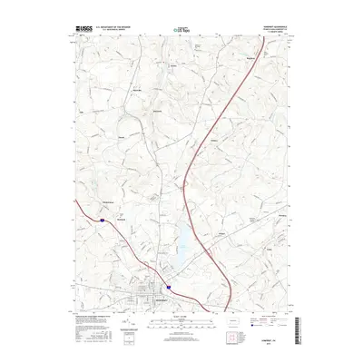
Historical Maps of Somerset Through Time
10 maps found

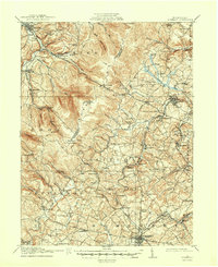
1913 Somerset
Somerset County, PA
1915 Somerset
Somerset County, PA
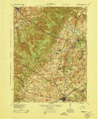
1944 Somerset
Somerset County, PA
1967 Somerset
Somerset County, PA
1977 Somerset
Somerset County, PA
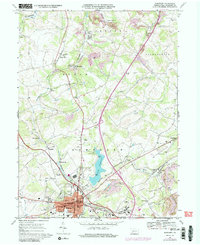
2010 Somerset
Somerset County, PA
2013 Somerset
Somerset County, PA
2016 Somerset
Somerset County, PA
2019 Somerset
Somerset County, PA
2023 Somerset
Somerset County, PA