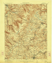
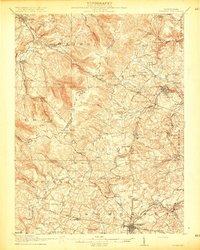
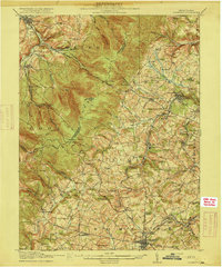
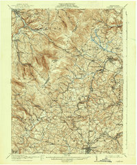
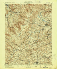
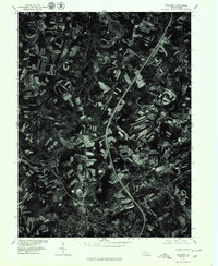
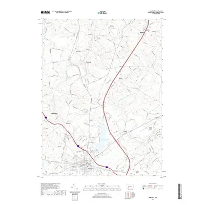
1915 Map of Somerset
USGS Topo · Published 1923About this map
Laurel Ridge dominates the western topography of this 1912–1913 survey, forming a natural barrier between Westmoreland and Somerset counties. The landscape is a complex network of narrow hollows and high ridges, where early trans-Appalachian routes like the Pittsburgh and Philadelphia Road and the Lincoln Highway struggle against the terrain. Significant industrial activity is evident in the eastern half of the sheet, centered on the coal-rich valleys near Boswell and Acosta. Heavy extractive footprints are visible at the Orenda Mine No. 2 and Husband Mine, supported by the Baltimore and Ohio RR. The map also captures a rural educational landscape before school consolidation, preserving the locations of dozens of neighborhood sites such as the Temple School and Saylor School, alongside small agrarian settlements like Lavansville and Sipesville.
Find a feature on this map
113 named features on this map. Tap any name to fly to it.
Don’t see what you’re looking for? This feature index may not catch every label — zoom into the map to look around manually.
Map Details
Editions of this 1915 Somerset Map
6 editions found
Historical Maps of Somerset Through Time
10 maps found

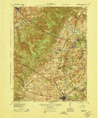
1913 Somerset
Somerset County, PA
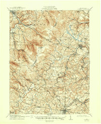
1915 Somerset
Somerset County, PA
1944 Somerset
Somerset County, PA
1967 Somerset
Somerset County, PA
1977 Somerset
Somerset County, PA
2010 Somerset
Somerset County, PA
2013 Somerset
Somerset County, PA
2016 Somerset
Somerset County, PA
2019 Somerset
Somerset County, PA
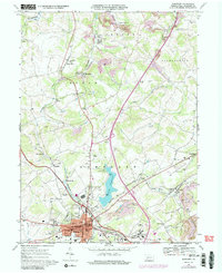
2023 Somerset
Somerset County, PA