
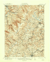
1913 Map of Somerset
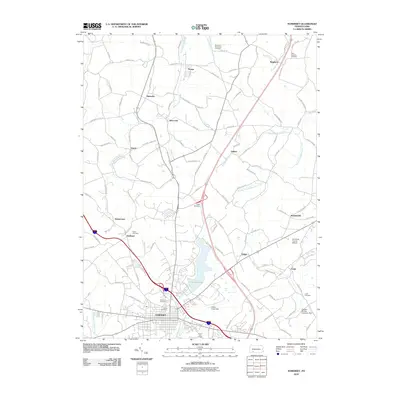
USGS Topo · Published 1961About this map
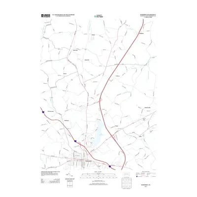
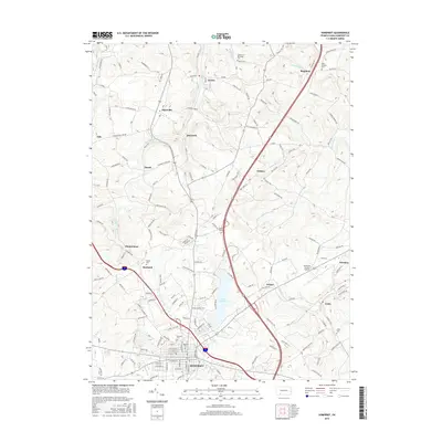
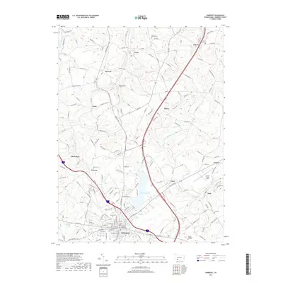
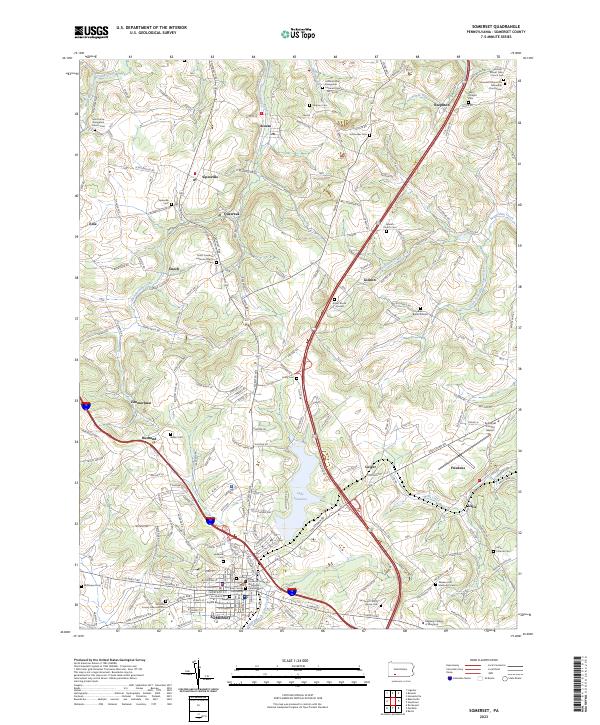
Laurel Hill dominates the western landscape of this region, serving as a natural boundary between the townships of Cook and Lincoln. In the early twentieth century, the area was characterized by a network of rural schools and small milling operations, such as Rectors Mill and Klines Mill, which supported scattered farming communities. The presence of the Quemahoning Tunnel and the Baltimore and Ohio RR indicates the vital role of transportation in connecting the mountain gaps to larger industrial hubs.
Find a feature on this map
119 named features on this map. Tap any name to fly to it.
Don’t see what you’re looking for? This feature index may not catch every label — zoom into the map to look around manually.
Map Details
Editions of this 1913 Somerset Map
This is the sole edition of this map. No revisions or reprints were ever made.
Historical Maps of Somerset Through Time
10 maps found
1913 Somerset
Somerset County, PA
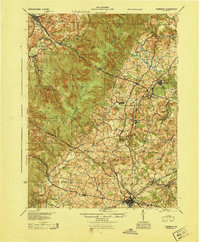
1915 Somerset
Somerset County, PA
1944 Somerset
Somerset County, PA
1967 Somerset
Somerset County, PA
1977 Somerset
Somerset County, PA
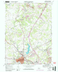
2010 Somerset
Somerset County, PA
2013 Somerset
Somerset County, PA
2016 Somerset
Somerset County, PA
2019 Somerset
Somerset County, PA
2023 Somerset
Somerset County, PA