
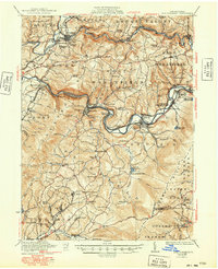
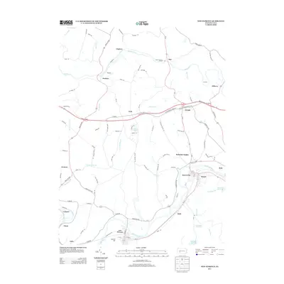
1921 Map of New Florence
USGS Topo · Published 1921About this map
The Conemaugh River carves a deep path through the western Pennsylvania landscape, serving as the industrial and transit corridor for several early 20th-century settlements. Along its banks, the Pennsylvania RR connects the communities of Bolivar, New Florence, and the railroad hub at Blairsville Intersection. This 1920 survey reveals a countryside dense with local institutions, from the Germany Church in the north to the Fort Palmer Church in the south, alongside numerous one-room schoolhouses like Shellocta School and Wallace School. Significant memorial landmarks are also present, notably the General Arthur St Clair Monument, which anchors the historical memory of the Ligonier Valley. The early influence of the Lincoln Highway is evident, tracing a route across the southern portion of the map near Fairview School and Oak Grove, while the uplands of Chestnut Ridge remain characterized by deep hollows like Flannery Hollow.
Find a feature on this map
76 named features on this map. Tap any name to fly to it.
Don’t see what you’re looking for? This feature index may not catch every label — zoom into the map to look around manually.
Map Details
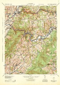
Editions of this 1921 New Florence Map
This is the sole edition of this map. No revisions or reprints were ever made.
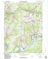
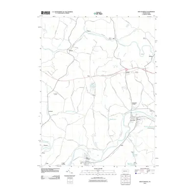
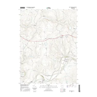
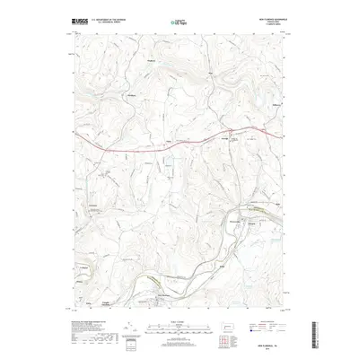
Historical Maps of Brush Valley Township Through Time
10 maps found

1920 New Florence
Westmoreland County, PA
1921 New Florence
Westmoreland County, PA
1922 New Florence
Westmoreland County, PA
1944 New Florence
Westmoreland County, PA
1964 New Florence
Westmoreland County, PA
2010 New Florence
Westmoreland County, PA
2013 New Florence
Westmoreland County, PA
2016 New Florence
Westmoreland County, PA
2019 New Florence
Westmoreland County, PA
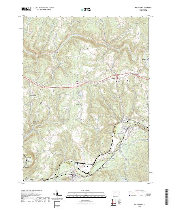
2023 New Florence
Westmoreland County, PA