
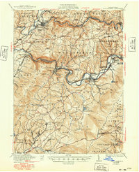
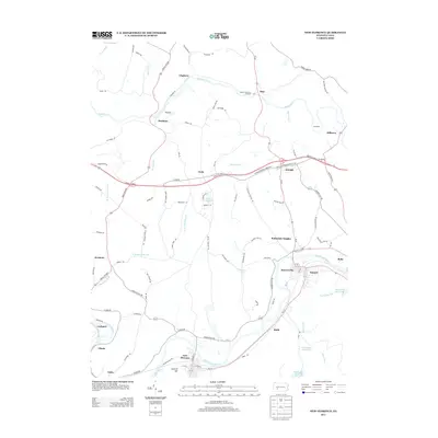
1920 Map of New Florence
USGS Topo · Published 1958About this map
The Conemaugh River and Blacklick Creek carve through the deep ridges of the Allegheny Front in this 1920 survey, defining a landscape of industrial river towns and upland farming communities. This era reveals a high density of rural infrastructure, from the Pennsylvania RR corridor to dozens of small district schools like Mahan School, Trindle School, and Snyders School. The map captures the specialized industrial geography of the region, including the Robindale Smokeless PO and the numerous named rows like Dixon Row and settlements like Black Lick. Between the river valley and the heights of Laurel Run, the terrain is marked by numerous reservoirs such as Big Spring Reservoir and Tubmill Reservoir, which supported the growing water needs of the neighboring steel and coal centers. Notable local landmarks like Fort Palmer Church and Ross Mountain Park sit alongside numerous quarries, showing the early 20th-century reliance on local mineral extraction.
Find a feature on this map
112 named features on this map. Tap any name to fly to it.
Don’t see what you’re looking for? This feature index may not catch every label — zoom into the map to look around manually.
Map Details
Editions of this 1920 New Florence Map
This is the sole edition of this map. No revisions or reprints were ever made.
Historical Maps of Brush Valley Township Through Time
10 maps found
1920 New Florence
Westmoreland County, PA

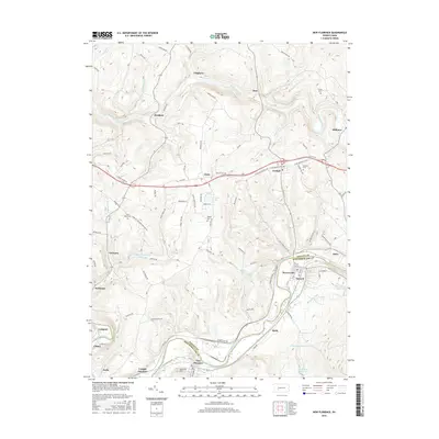
1921 New Florence
Westmoreland County, PA
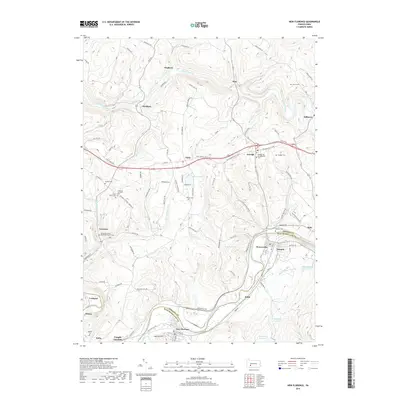
1922 New Florence
Westmoreland County, PA
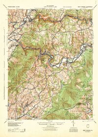
1944 New Florence
Westmoreland County, PA
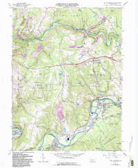
1964 New Florence
Westmoreland County, PA
2010 New Florence
Westmoreland County, PA
2013 New Florence
Westmoreland County, PA
2016 New Florence
Westmoreland County, PA
2019 New Florence
Westmoreland County, PA
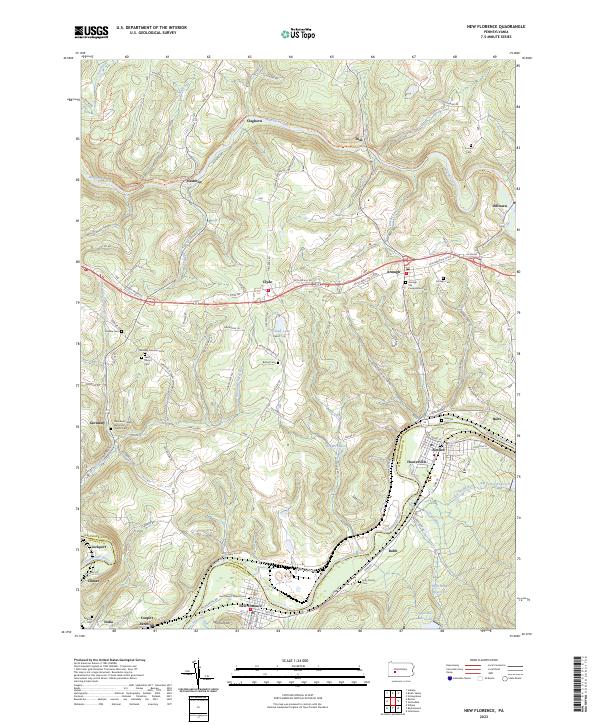
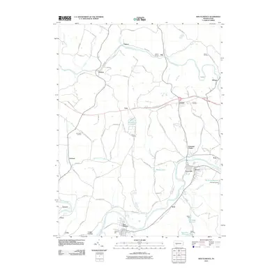
2023 New Florence
Westmoreland County, PA