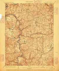
1903 Map of Masontown
USGS Topo · Published 1910About this map
The Monongahela River winds through the heart of this early century landscape, serving as the primary artery for transportation and industry. Along its banks, a series of essential river crossings such as Arensburg Ferry, Browns Ferry, and Crows Ferry connect the disparate settlements of Fayette and Greene counties. Navigation is supported by heavy engineering, including Lock No 7 and Lock No 8, which manage the river's descent.
Find a feature on this map
119 named features on this map. Tap any name to fly to it.
Don’t see what you’re looking for? This feature index may not catch every label — zoom into the map to look around manually.
Map Details
Editions of this 1903 Masontown Map
4 editions found
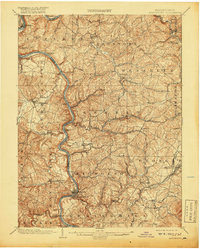
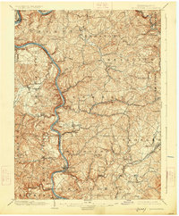
Other maps of this area

1900 · Uniontown
USGS Topo · 1:62,500

1900 · Masontown
USGS Topo · 1:62,500

1901 · Amity
USGS Topo · 1:62,500

1901 · Waynesburg
USGS Topo · 1:62,500

1902 · Brownsville
USGS Topo · 1:62,500

1902 · Morgantown
USGS Topo · 1:62,500

1902 · Connellsville
USGS Topo · 1:62,500

1903 · Masontown
USGS Topo · 1:62,500

1904 · Amity
USGS Topo · 1:62,500

1904 · Bruceton
USGS Topo · 1:62,500