Old Maps of Fairmont, West Virginia
Explore 41 old maps of Fairmont, spanning from 1902 to today. These high-resolution historic maps reveal how streets, neighborhoods, landmarks, and natural features evolved over time — perfect for genealogy, metal detecting, research, and local history exploration.
What you can do with these maps:
- See how Fairmont changed over time: Compare historical maps to modern-day views to trace roads, homesites, rail lines & more.
- View detailed metadata: Each map includes creators, publishers, year, scale, and archive source.
- Overlay maps with satellite & LiDAR: Visualize the past alongside modern tools to explore terrain & human change.
- Trusted historical sources: Maps sourced from the USGS, Library of Congress, and other archives.
- Access maps your way: View online, download high-res files, or order prints for personal or research use.
Start exploring old maps of Fairmont to uncover forgotten places, hidden landmarks, and the deep history beneath your feet.
Fairmont, WV maps
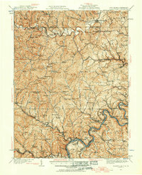
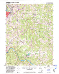
(41)- 1902 Map of Fairmont
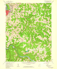
 1902 Fairmont1902 Print · USGSMarion and Taylor Counties were hubs of coal and transit at the opening of the twentieth century, as the rail lines followed the winding rivers. Genealogists can trace early family settlements and work sites from the Tyrconnell Mines to rural Nebo Church and Boothsville.4 unique versions available
 - 1904 Map of Blacksville
 1904 Blacksville1904 Print · USGSThe West Virginia and Pennsylvania border comes alive in this survey from the early twentieth century. Researchers can trace the river economy along the Monongahela at Lock No. 13 or locate rural homesteads near Fairview Amos P.O. and Blacksville.3 unique versions available
 - 1923 Map of Blacksville, 1956 Print
 1923 Blacksville1956 Print · USGSMonongalia and Marion counties appear here during the early twentieth century as the coal and rail economy began to reshape the rural landscape. Researchers can find numerous family landmarks, from Town School and Olive Church to the industrial works at Montana Mines.
 - 1923 Map of Fairmont, 1956 Print
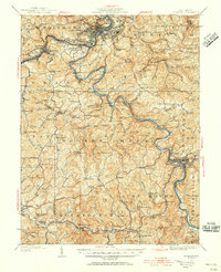 1923 Fairmont1956 Print · USGSMarion and Taylor counties are shown during the height of their rail and coal era in the early twentieth century. Researchers can trace family origins through dozens of named landmarks like Jane Memorial Church, T McConnell Mines, and the river crossing at Benton Ferry.2 unique versions available
 - 1925 Map of Blacksville
 1925 Blacksville1925 Print · USGSMonongalia and Marion Counties are shown in the mid-1920s, a period when rural life centered on a vast network of neighborhood schools and churches. Genealogists can trace family roots through specific landmarks like Stumptown School, Montana Mines, and Monumental Church.4 unique versions available
 - 1926 Map of Fairmont
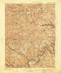
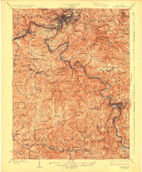 1926 Fairmont1926 Print · USGSMarion and Taylor counties are shown during the mid-twenties when coal mining and the rail industry shaped the river valleys. Researchers can locate vanished landmarks like the Tyrconnell Mines and community centers such as Pruntytown and Mt Zion Church.3 unique versions available
 - 1949 Map of Clarksburg
 1949 Clarksburg1949 Print · USGSThe upper Ohio River valley and the industrial heart of West Virginia come into focus during this post-war period. Genealogists and researchers can trace the rail corridors of the Baltimore and Ohio and locate centers like Fairmont, Grafton, and Waynesburg.
 - 1956 Map of Clarksburg, 1966 Print
 1956 Clarksburg1966 Print · USGSThe Ohio River valley and the industrial heart of West Virginia are seen here in the mid-1950s as rail and river commerce thrived. Researchers can trace historic transport lines like the Baltimore and Ohio RR and locate ancestral homes in Clarksburg, Moundsville, or Parkersburg.2 unique versions available
 - 1958 Map of Fairmont East, 1959 Print
 1958 Fairmont East1959 Print · USGSMarion County's river valleys and ridgelines are captured here in the late fifties as the regional economy balanced coal mining and industry. Genealogists can locate family landmarks like the Hayhurst Cem, Mission Farm, and rural centers such as Quiet Dell Sch.3 unique versions available
 - 1958 Map of Fairmont West, 1960 Print
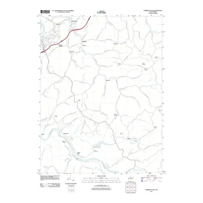
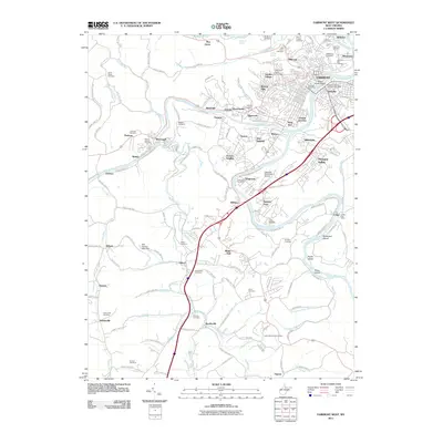
 1958 Fairmont West1960 Print · USGSMarion County at the end of the 1950s shows the bustling city of Fairmont as a regional hub of education and transport. Researchers can locate family roots at Mount Calvary Cem, trace the rail lines of the Baltimore and Ohio Railroad, or find old schools like Coons Run Sch.4 unique versions available
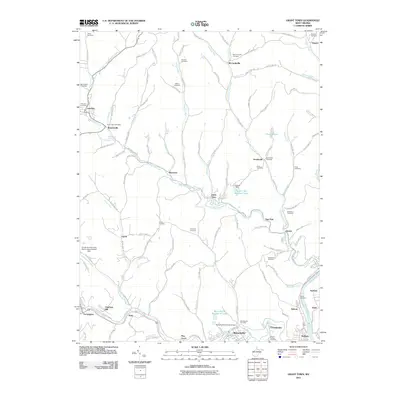
 - 1960 Map of Grant Town, 1961 Print
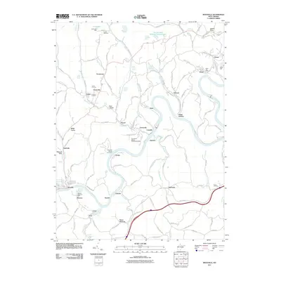
 1960 Grant Town1961 Print · USGSMarion and Monongalia counties are shown here at the peak of the mid-century industrial era, where coal mining and gas extraction shaped the local economy. Genealogists and historians can trace family-named sites like Hood Cem, Mc Curdyville, and the Gilbor Ch along the winding Paw Paw Creek.2 unique versions available
 - 1960 Map of Rivesville, 1962 Print
 1960 Rivesville1962 Print · USGSThe Monongahela River valley was a bustling corridor of coal and rail in the early sixties. Genealogists and historians can trace family locations near the Site of Fort Prickett, the Montana Mines post office, and Snider Temple.4 unique versions available
 - 1961 Map of Clarksburg
 1961 Clarksburg1961 Print · USGSThe mid-century industrial and river landscapes of West Virginia and Ohio are detailed here, centered on the Ohio River. Researchers can trace the Baltimore and Ohio rail lines connecting towns like Parkersburg, Clarksburg, and Monongah.
 - 1976 Map of Rivesville, 1979 Print
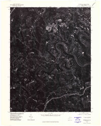 1976 Rivesville1979 Print · USGSThe Monongahela River valley comes into sharp focus during the mid-seventies in this detailed aerial study. Researchers can examine the industrial landscape and trace development patterns near settlements like Everettville and Booth along the river banks.
 - 1976 Map of Grant Town, 1979 Print
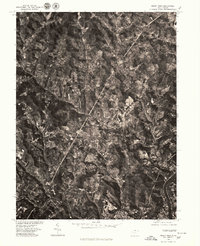 1976 Grant Town1979 Print · USGSMarion County in the mid-seventies is revealed through high-resolution aerial photography, documenting the rugged coal-country terrain before modern expansion. Researchers can trace the clear footprints of towns like Grant Town, Barrackville, and Fairview alongside the Monongahela River.
 - 1982 Map of Clarksburg, 1983 Print
 1982 Clarksburg1983 Print · USGSNorth Central West Virginia in the early eighties reveals a landscape deeply connected to its coal and gas resources. Genealogists and researchers can trace family landmarks and historical settlements from Clarksburg to Buckhannon, or locate sites like Quiet Dell and Watters Smith Memorial State Park.
 - 1984 Map of Moundsville
 1984 Moundsville1984 Print · USGSThe Ohio River valley and the Appalachian interior meet in the mid-eighties as a hub of rail and river commerce. Genealogists and historians can trace the development of river towns like New Martinsville, inland hubs like Waynesburg, and the path of the B & O RR.
 - 1988 Map of Clarksburg, 1989 Print
 1988 Clarksburg1989 Print · USGSThe central Appalachians are documented in detail during the late eighties, showing the industrial and river-based economies of West Virginia, Ohio, and Pennsylvania. Researchers can trace historic rail routes like the B & O RR and locate river towns from St Marys to Parkersburg.
 - 1997 Map of Fairmont West, 2002 Print
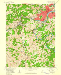
 1997 Fairmont West2002 Print · USGSFairmont and the Monongahela River valley are captured here in the late twentieth century as the region transitioned from its industrial roots. Researchers can trace family sites at Evergreen Cemetery, visit the State Teachers College, or locate numerous coal-era sites such as former mines near Monongah.
 - 1997 Map of Rivesville, 2002 Print
 1997 Rivesville2002 Print · USGSThe Monongahela River valley north of Fairmont thrived on coal and river transport during the late twentieth century. Genealogists can trace family roots through numerous former mine sites and local landmarks like Montana (Montana Mines PO), Arnettsville Sch, and Pricketts Fort State Park.
 - 1999 Map of Fairmont East, 2000 Print
 1999 Fairmont East2000 Print · USGSMarion County hill country and river valleys are documented here at the close of the century. Genealogists can trace family landmarks like Maple Grove Cem and rural centers such as Bunners Ridge Ch or Meadowdale Sch.
 - 2011 Map of Rivesville, 2011 Print
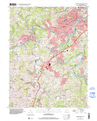
 2011 Rivesville2011 Print · USGSCovers Fairmont, including Rivesville, Booth, and other nearby areas
 - 2011 Map of Grant Town, 2011 Print
 2011 Grant Town2011 Print · USGSCovers Fairmont, including Barrackville, Rivesville, and other nearby areas
 - 2011 Map of Fairmont East, 2011 Print
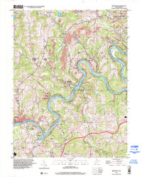
 2011 Fairmont East2011 Print · USGSCovers Fairmont, including Meadowdale, Valley Falls, and other nearby areas
 - 2011 Map of Fairmont West, 2011 Print
 2011 Fairmont West2011 Print · USGSCovers Fairmont, including Pleasant Valley, Barrackville, and other nearby areas
Showing maps 1-25 of 41
Top cities near Fairmont
- Morgantown historical maps
- Clarksburg historical maps
- Bridgeport historical maps
- Grafton historical maps
- Westover historical maps
- Pleasant Valley historical maps
See more
Top neighborhoods of Fairmont
- Gaston historical maps
- Hillcrest historical maps
- Shagtown historical maps
- West End historical maps
- Beverly Hills historical maps
- Edgemont historical maps
See more
Frequently asked questions
- What are the different types of historical maps available for Fairmont?
- What is the oldest map of Fairmont?
- Where can I purchase historical maps of Fairmont for my home or office?
- Where can I download high-res historical maps of Fairmont?
- Are there historical topographic maps available for Fairmont?
- Is there historical aerial imagery available for Fairmont?
- Where are historical maps of Fairmont sourced from?