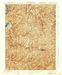
1904 Map of Cameron
USGS Topo · Published 1929About this map
Moundsville sits at the western edge of this 1902 survey, where the Ohio River flows past the narrow valley corridor known as The Narrows. This early twentieth-century landscape is defined by the heavy infrastructure of the B. and O. R. R., which winds through the steep topography of the Fork Ridge and Dry Ridge to connect industrial hubs. The surveyor W. N. Brown documented a dense network of upland settlements and rural junctions like Beelers Station, Limestone, and Pleasant Valley, many linked by the historic Waynesburg Pike.
Find a feature on this map
74 named features on this map. Tap any name to fly to it.
Don’t see what you’re looking for? This feature index may not catch every label — zoom into the map to look around manually.
Map Details
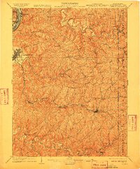
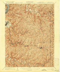
Editions of this 1904 Cameron Map
4 editions found
Other maps of this area

1902 · Wheeling
USGS Topo · 1:62,500

1903 · Littleton
USGS Topo · 1:62,500

1904 · Cameron
USGS Topo · 1:62,500

1905 · Mannington
USGS Topo · 1:62,500

1905 · Rogersville
USGS Topo · 1:62,500

1905 · Littleton
USGS Topo · 1:62,500

1905 · Clarington
USGS Topo · 1:62,500

1905 · St. Clairsville
USGS Topo · 1:62,500

1906 · New Martinsville
USGS Topo · 1:62,500

1907 · Claysville
USGS Topo · 1:62,500