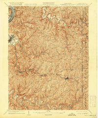
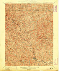
1904 Map of Cameron
USGS Topo · Published 1918About this map
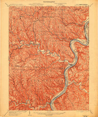
The Ohio River R.R. (B. & O. R.R.) follows the tight curve of the river at McMechen and Moundsville, anchoring a landscape defined by the deeply eroded plateaus of the Northern Panhandle. While the riverfront is industrial, the interior consists of an intricate network of ridges and runs, where small agricultural and post-office communities like Beelers Station, Glen Easton, and Loudenville are linked by winding roads like the Waynesburg Pike. This era shows the B. & O. R.R. pushing through the difficult terrain of the Fork Grave Creek valley, passing through Cameron on its way toward the Pennsylvania line.
Find a feature on this map
61 named features on this map. Tap any name to fly to it.
Don’t see what you’re looking for? This feature index may not catch every label — zoom into the map to look around manually.
Map Details
Editions of this 1904 Cameron Map
4 editions found
Other maps of this area

1902 · Wheeling
USGS Topo · 1:62,500

1903 · Littleton
USGS Topo · 1:62,500
1904 · Cameron
USGS Topo · 1:62,500
1905 · Mannington
USGS Topo · 1:62,500

1905 · Rogersville
USGS Topo · 1:62,500

1905 · Littleton
USGS Topo · 1:62,500
1905 · Clarington
USGS Topo · 1:62,500

1905 · St. Clairsville
USGS Topo · 1:62,500

1906 · New Martinsville
USGS Topo · 1:62,500

1907 · Claysville
USGS Topo · 1:62,500