1923 Map of Mannington
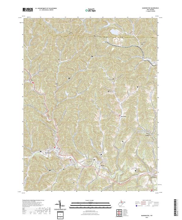
USGS Topo · Published 1956About this map
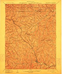
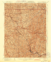
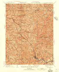
Mannington serves as the industrial and social anchor of this 1923 culture revision, situated at the confluence of several winding drainages like Pigeon Run and Buffalo Creek. The landscape is a dense network of steep hollows and ridges, punctuated by dozens of rural institutions that suggest a highly populated interior before modern consolidation. Numerous schools, such as State Road School and Brummage School, are tucked into nearly every valley, alongside country houses of worship like Hundred Church and Meyers Chapel. This era of the region’s development is defined by the transition from rugged agricultural isolation to a rail-connected economy, visible through the presence of Brave Sta. and the clustered settlements at Glover Gap and Metz. The survey also highlights the proximity of the West Virginia and Pennsylvania border, where the communities of Jollytown and Brave P.O. sit just across the state line.
Find a feature on this map
143 named features on this map. Tap any name to fly to it.
Don’t see what you’re looking for? This feature index may not catch every label — zoom into the map to look around manually.
Map Details
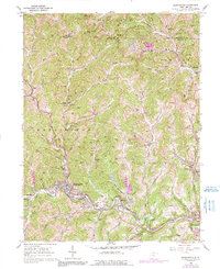
Editions of this 1923 Mannington Map
This is the sole edition of this map. No revisions or reprints were ever made.
Historical Maps of Mannington Through Time
5 maps found