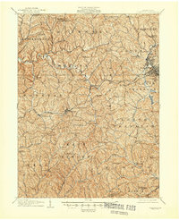
1907 Map of Claysville
USGS Topo · Published 1945About this map
National Pike and the Baltimore and Ohio RR cut a significant transit corridor through this corner of Washington County, anchoring the commercial life of Claysville and Taylorstown. The landscape is a network of small agricultural and mining hubs, from the Arden Mines in the northeast to the evocatively named settlement of Good Intent in the south. During this era, rural life was organized around local institutions, evidenced by the numerous specialized structures like the Manchester Schoolhouse, Mount Hope Church, and the Childrens Home.
Find a feature on this map
89 named features on this map. Tap any name to fly to it.
Don’t see what you’re looking for? This feature index may not catch every label — zoom into the map to look around manually.
Map Details
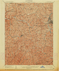
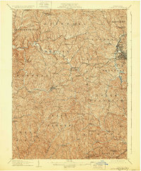
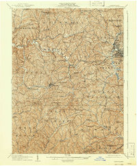
Editions of this 1907 Claysville Map
5 editions found

Other maps of this area

1901 · Amity
USGS Topo · 1:62,500

1901 · Waynesburg
USGS Topo · 1:62,500

1902 · Wheeling
USGS Topo · 1:62,500

1904 · Amity
USGS Topo · 1:62,500

1904 · Steubenville
USGS Topo · 1:62,500

1904 · Waynesburg
USGS Topo · 1:62,500

1904 · Cameron
USGS Topo · 1:62,500

1904 · Carnegie
USGS Topo · 1:62,500

1904 · Burgettstown
USGS Topo · 1:62,500

1905 · Rogersville
USGS Topo · 1:62,500
Featured Places
- Washington, PA
- South Strabane Township, PA
- Buffalo, Hopewell Township
- Independence Township, PA
- East Finley Township, PA