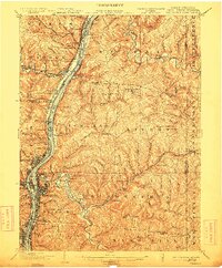
1902 Map of Wheeling
USGS Topo · Published 1912About this map
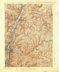
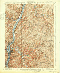
The Ohio River corridor serves as the industrial and transportation backbone of this region at the start of the 20th century, where the boundaries of West Virginia, Ohio, and Pennsylvania converge. The city of Wheeling dominates the riverbank, surrounded by a dense network of suburban and industrial satellites such as Martins Ferry, Bridgeport, and Terminal Junction. This survey reveals the complex transit landscape of the era, from the heavy rail infrastructure of the Pennsylvania R. R. and the Baltimore and Ohio R. R. to the historic overland routes like the National Road and the Bethany Turnpike. Inland from the river, the landscape transitions into a series of deeply dissected ridges and hollows, including Scott Ridge, where smaller communities like Triadelphia and Elm Grove follow the winding course of Wheeling Creek. Cultural landmarks such as Mont De Chantal and Wheeling Park provide evidence of the social fabric established alongside the area's manufacturing hubs.
Find a feature on this map
130 named features on this map. Tap any name to fly to it.
Don’t see what you’re looking for? This feature index may not catch every label — zoom into the map to look around manually.
Map Details
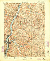
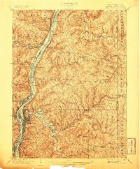
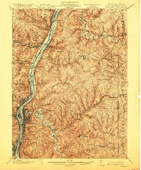
Editions of this 1902 Wheeling Map
7 editions found
Other maps of this area

1901 · Cadiz
USGS Topo · 1:62,500

1902 · Wheeling
USGS Topo · 1:62,500

1903 · Cadiz
USGS Topo · 1:62,500

1904 · Steubenville
USGS Topo · 1:62,500

1904 · Cameron
USGS Topo · 1:62,500

1904 · Burgettstown
USGS Topo · 1:62,500

1905 · Rogersville
USGS Topo · 1:62,500

1905 · Clarington
USGS Topo · 1:62,500

1905 · St. Clairsville
USGS Topo · 1:62,500

1906 · Burgettstown
USGS Topo · 1:62,500