Loading...
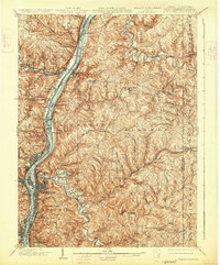
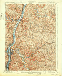
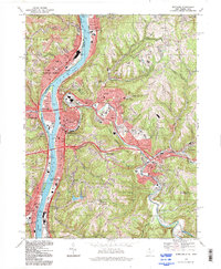
Loading map...1902 Map of Wheeling
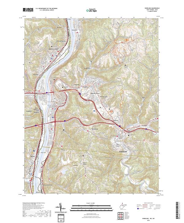
USGS Topo · Published 1926About this map
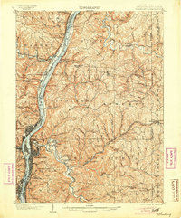
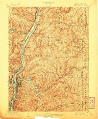
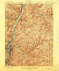
The Ohio River corridor serves as the industrial and transit spine for this three-state borderland, where the tri-state geography of Ohio, West Virginia, and Pennsylvania meets. The city of Wheeling dominates the riverfront, its urban footprint expanding from Wheeling Island toward the surrounding slopes of Wheeling Hill. The map captures a dense network of early 20th-century transportation, featuring the National Pike and the Baltimore and Ohio R. R. cutting through the narrow valleys.
Find a feature on this map
108 named features on this map. Tap any name to fly to it.
Don’t see what you’re looking for? This feature index may not catch every label — zoom into the map to look around manually.
Map Details
Date Portrayed1902
Date Published1926
PublisherU.S. Geological Survey
Map TypeTopographic
Scale1:62,500
Physical Dimensions16.5 x 19.9 inches
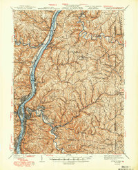
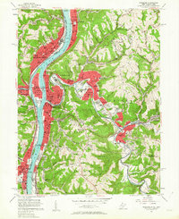
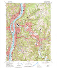
Editions of this 1902 Wheeling Map
7 editions found


Historical Maps of Wheeling Through Time
7 maps found

Featured Locations
Source Details
SourceU.S. Geological Survey
CopyrightPublic Domain