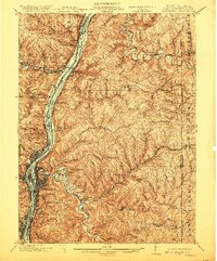
1902 Map of Wheeling
USGS Topo · Published 1920About this map
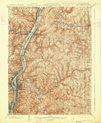
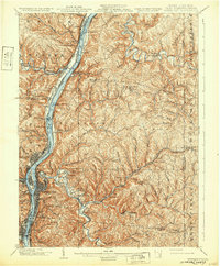
Wheeling serves as the industrial and transport hub of this tri-state region, where the Ohio River carves a deep valley through the high plateau. The riverbank is dense with early 20th-century development, including rail yards and neighborhoods like Martins Ferry, Bridgeport, and Benwood. An intricate network of iron and steam defines the corridor, featuring the Baltimore and Ohio R. R. and the Wheeling and Lake Erie R. R..
Find a feature on this map
122 named features on this map. Tap any name to fly to it.
Don’t see what you’re looking for? This feature index may not catch every label — zoom into the map to look around manually.
Map Details
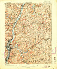
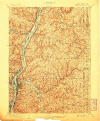
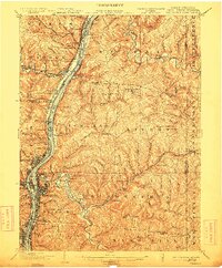
Editions of this 1902 Wheeling Map
7 editions found
Other maps of this area

1901 · Cadiz
USGS Topo · 1:62,500

1902 · Wheeling
USGS Topo · 1:62,500

1903 · Cadiz
USGS Topo · 1:62,500

1904 · Steubenville
USGS Topo · 1:62,500

1904 · Cameron
USGS Topo · 1:62,500

1904 · Burgettstown
USGS Topo · 1:62,500

1905 · Rogersville
USGS Topo · 1:62,500

1905 · Clarington
USGS Topo · 1:62,500

1905 · St. Clairsville
USGS Topo · 1:62,500

1906 · Burgettstown
USGS Topo · 1:62,500