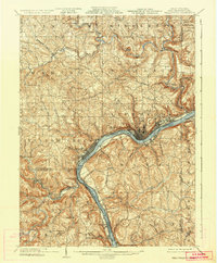
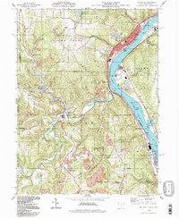
1904 Map of Wellsville
USGS Topo · Published 1936About this map
The Ohio River carves a deep valley through the tri-state border region of Ohio, West Virginia, and Pennsylvania, anchoring a dense network of industrial and transport hubs. Early 20th-century East Liverpool and Wellsville stand as primary centers of activity, where the Cleveland and Pittsburgh RR and other Pennsylvania lines hug the shoreline to service the local pottery and manufacturing economies.
Find a feature on this map
71 named features on this map. Tap any name to fly to it.
Don’t see what you’re looking for? This feature index may not catch every label — zoom into the map to look around manually.
Map Details
Editions of this 1904 Wellsville Map
3 editions found

Historical Maps of East Liverpool Through Time
10 maps found
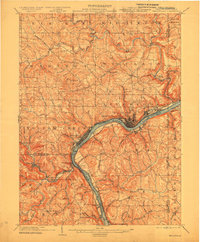
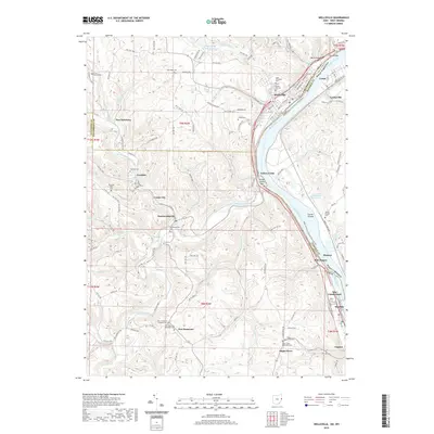
1904 Wellsville
Columbiana County, OH

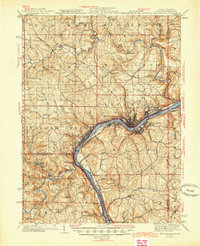
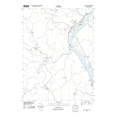
1937 Wellsville
Columbiana County, OH
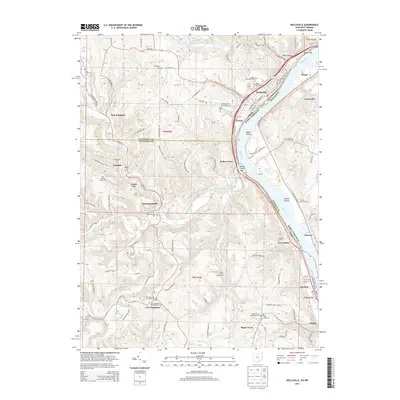
1944 Wellsville
Columbiana County, OH
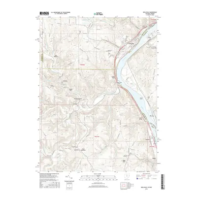
1960 Wellsville
Columbiana County, OH
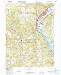
1994 Wellsville
Columbiana County, OH
2011 Wellsville
Columbiana County, OH
2013 Wellsville
Columbiana County, OH
2016 Wellsville
Columbiana County, OH
2019 Wellsville
Columbiana County, OH
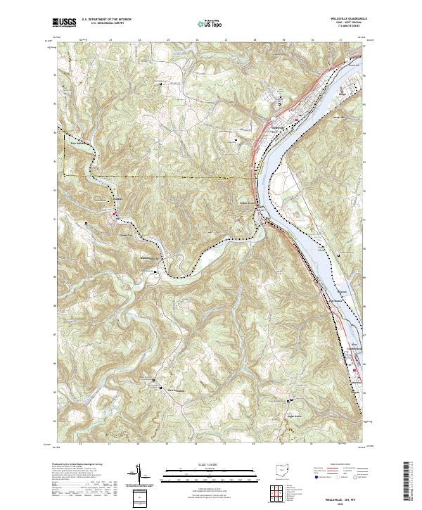
2023 Wellsville
Columbiana County, OH