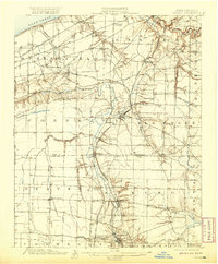
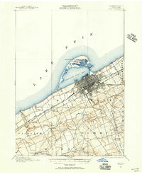
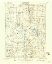
1900 Map of Girard
USGS Topo · Published 1920About this map
Lake Erie defines the northern shoreline of this survey, where the Southern Michigan and Chicago and New York and Lake Shore corridor parallels the coast. This late nineteenth-century landscape is shaped by the convergence of major rail lines and winding waterways, most notably the Conneaut Creek which carves through the central townships. The map documents a dense network of stations and rural hamlets, from Thornton Junction in the north down to Conneautville in the south.
Find a feature on this map
60 named features on this map. Tap any name to fly to it.
Don’t see what you’re looking for? This feature index may not catch every label — zoom into the map to look around manually.
Map Details
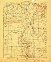
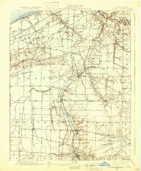
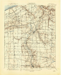
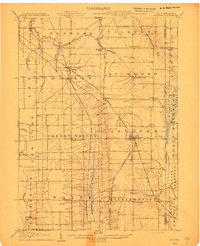
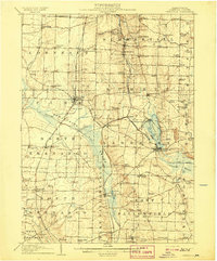
Editions of this 1900 Girard Map
5 editions found
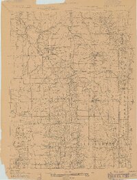
Other maps of this area
1899 · Erie
USGS Topo · 1:62,500

1900 · Girard
USGS Topo · 1:62,500
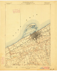
1900 · Erie
USGS Topo · 1:62,500
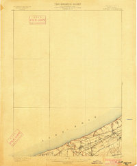
1900 · Fairview
USGS Topo · 1:62,500
1905 · Andover
USGS Topo · 1:48,000

1906 · Conneaut
USGS Topo · 1:62,500
1906 · Linesville
USGS Topo · 1:62,500
1907 · Andover
USGS Topo · 1:62,500
1908 · Linesville
USGS Topo · 1:62,500
1923 · Meadville
USGS Topo · 1:62,500