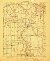
1900 Map of Girard
USGS Topo · Published 1907About this map
Lake Erie defines the northern edge of this northwestern Pennsylvania landscape, where a dense network of steam-era railroads converges near the Ohio border. Surveyed in 1899, the terrain is shaped by the deep incisions of Conneaut Creek and Elk Creek as they drain toward the lake. The rail-and-river economy is evident in the cluster of industrial and transit hubs like Albion, Thornton Junction, and Conneautville, which served as vital collection points for the region's agricultural output. The Bessemer and Lake Erie R. R. and the Pennsylvania R. R. cut through the townships, creating specialized stops such as Shadeland Station and Springboro Sta. Away from the rail lines, smaller crossroads settlements like Lundys Lane and Cherryhill reflect the rural character of Erie and Crawford counties before the modernization of the highway system.
Find a feature on this map
63 named features on this map. Tap any name to fly to it.
Don’t see what you’re looking for? This feature index may not catch every label — zoom into the map to look around manually.
Map Details
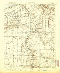
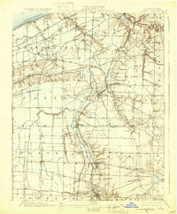
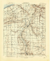
Editions of this 1900 Girard Map
5 editions found
Other maps of this area

1899 · Erie
USGS Topo · 1:62,500

1900 · Girard
USGS Topo · 1:62,500

1900 · Erie
USGS Topo · 1:62,500

1900 · Fairview
USGS Topo · 1:62,500

1905 · Andover
USGS Topo · 1:48,000

1906 · Conneaut
USGS Topo · 1:62,500

1906 · Linesville
USGS Topo · 1:62,500

1907 · Andover
USGS Topo · 1:62,500

1908 · Linesville
USGS Topo · 1:62,500

1923 · Meadville
USGS Topo · 1:62,500