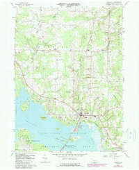
1959 Map of Linesville
USGS Topo · Published 1990About this map
The Shenango River and the massive expanse of the Pymatuning Reservoir dominate this 1959 survey of Crawford County, documenting a landscape reshaped by water management and recreation. The borough of Linesville serves as the primary hub, where the State Fish Hatchery and several local cemeteries, including Boro Cem and Frey Cem, mark the intersection of civic life and the rising shoreline. This edition includes purple revision overlays from 1987, showing the expansion of Pymatuning State Park and updated road alignments near Merrys Pymatuning Airport.
Find a feature on this map
40 named features on this map. Tap any name to fly to it.
Don’t see what you’re looking for? This feature index may not catch every label — zoom into the map to look around manually.
Map Details
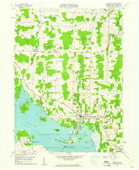
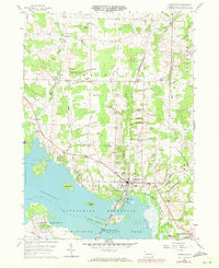
Editions of this 1959 Linesville Map
Other maps of this area

1900 · Girard
USGS Topo · 1:62,500

1905 · Andover
USGS Topo · 1:48,000

1906 · Conneaut
USGS Topo · 1:62,500

1906 · Linesville
USGS Topo · 1:62,500

1907 · Andover
USGS Topo · 1:62,500

1908 · Linesville
USGS Topo · 1:62,500

1950 · Cleveland
USGS Topo · 1:250,000

1956 · Cleveland
USGS Topo · 1:250,000

1959 · Conneautville
USGS Topo · 1:24,000

1959 · Hartstown
USGS Topo · 1:24,000
Featured Places
- Linesville, PA
- Summerhill Township, PA
- Pymatuning Central, PA
- Pine Township, PA
- Tuttle Lake, Pymatuning Central