
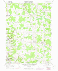
1959 Map of Conneautville
USGS Topo · Published 1960About this map
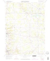
Conneautville and the surrounding Crawford County farmstead country appear here during a period of mid-century stability, defined by the heavy rail line of the Bessemer & Lake Erie running north toward Lake Erie. This landscape is a patchwork of woodlots and drainage basins, where the headwaters of Cussewago and Conneaut creeks dictate the placement of early settlements. Small rural hubs like Springboro and Hickernell serve as local anchors, while the Conneaut Valley High Sch and multiple churches like St Nicholas Ch and East Spring Ch reflect the community's social core.
Find a feature on this map
30 named features on this map. Tap any name to fly to it.
Don’t see what you’re looking for? This feature index may not catch every label — zoom into the map to look around manually.
Map Details
Editions of this 1959 Conneautville Map
6 editions found
Other maps of this area

1900 · Girard
USGS Topo · 1:62,500

1906 · Linesville
USGS Topo · 1:62,500

1908 · Linesville
USGS Topo · 1:62,500

1923 · Meadville
USGS Topo · 1:62,500

1923 · Cambridge Springs
USGS Topo · 1:62,500

1925 · Meadville
USGS Topo · 1:62,500

1925 · Cambridge Springs
USGS Topo · 1:62,500

1943 · Meadville
USGS Topo · 1:62,500

1943 · Cambridge Springs
USGS Topo · 1:62,500

1950 · Cleveland
USGS Topo · 1:250,000