
1959 Map of Hartstown
USGS Topo · Published 1960About this map
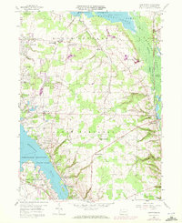
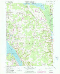
Pymatuning Reservoir dominates the western landscape of this Crawford County survey, where the rising waters of the mid-twentieth century reshaped the drainage of the Shenango River. The map preserves the traces of earlier transit and settlement, most notably the path of the Erie Extension Canal and the tracks of the Bessemer and Lake Erie railroad passing through Hartstown. Rural life centers on townships like North Shenango and South Shenango, where local landmarks such as the North Shenango Sch and several country churches provided anchors for the farming community. The eastern edge transition into the Pymatuning Swamp and State Game Lands No 214 highlights the preservation of wetlands alongside small crossroads settlements like Marshall Corners and Westford.
Find a feature on this map
35 named features on this map. Tap any name to fly to it.
Don’t see what you’re looking for? This feature index may not catch every label — zoom into the map to look around manually.
Map Details
Editions of this 1959 Hartstown Map
3 editions found
Other maps of this area

1905 · Andover
USGS Topo · 1:48,000

1906 · Linesville
USGS Topo · 1:62,500

1907 · Andover
USGS Topo · 1:62,500

1907 · Kinsman
USGS Topo · 1:62,500

1908 · Shenango
USGS Topo · 1:62,500

1908 · Linesville
USGS Topo · 1:62,500

1950 · Cleveland
USGS Topo · 1:250,000

1956 · Cleveland
USGS Topo · 1:250,000

1958 · Greensville West
USGS Topo · 1:24,000
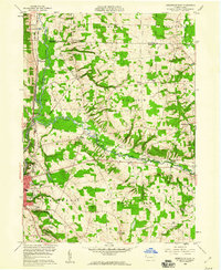
1958 · Greensville East
USGS Topo · 1:24,000
Featured Places
- Pymatuning Central, PA
- West Fallowfield Township, PA
- Pymatuning South, PA
- Pine Township, PA
- Turner, Pymatuning South