
1958 Map of Greensville West
USGS Topo · Published 1960About this map
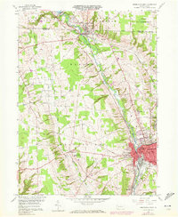
The Shenango River corridor serves as the primary artery for transport and industry in this 1950s study of the Mercer and Crawford county border. The dense urban center of Greenville stands out with its concentrated street grid, home to Thiel College, Penn High Sch, and Columbia Sch. This area demonstrates a complex infrastructure where the Pennsylvania and Bessemer and Lake Erie railroads intersect, while remnants of the Erie Extension Canal trace the river's path south. To the north, the landscape shifts toward the recreational and conservation lands of Pymatuning State Park and the smaller borough of Jamestown. Rural townships like West Salem and Greene are dotted with family landmarks such as Donner Crossroads and local institutions like the St Pauls Childrens Home, reflecting a mid-century balance of industrial hub and agricultural hinterland.
Find a feature on this map
40 named features on this map. Tap any name to fly to it.
Don’t see what you’re looking for? This feature index may not catch every label — zoom into the map to look around manually.
Map Details
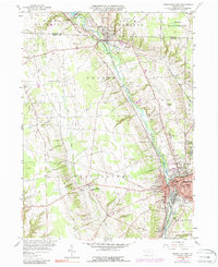
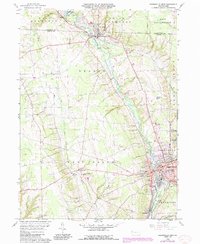
Editions of this 1958 Greensville West Map
4 editions found
Other maps of this area

1905 · Andover
USGS Topo · 1:48,000

1906 · Linesville
USGS Topo · 1:62,500

1907 · Andover
USGS Topo · 1:62,500

1907 · Kinsman
USGS Topo · 1:62,500

1908 · Shenango
USGS Topo · 1:62,500

1908 · Linesville
USGS Topo · 1:62,500

1950 · Cleveland
USGS Topo · 1:250,000

1956 · Cleveland
USGS Topo · 1:250,000

1958 · Sharpsville
USGS Topo · 1:24,000
1958 · Fredonia
USGS Topo · 1:24,000
Featured Places
- Greenville, PA
- Shenango, West Salem Township
- Jamestown, PA
- West Fallowfield Township, PA
- Donner Crossroads, West Salem Township