
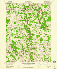
1958 Map of Sharpsville
USGS Topo · Published 1959About this map
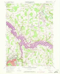
The Shenango River anchors this mid-century portrait of Mercer County, winding past industrial hubs and small residential townships. In Sharpsville, the river bends sharply near the Pennsylvania road network, while the north edge of Sharon appears at the map's southern margin. The landscape reflects a mix of post-war suburban development and rural heritage, visible in the cluster of homes at Reynolds Heights and the central presence of the Drive-in Theater near Transfer.
Find a feature on this map
43 named features on this map. Tap any name to fly to it.
Don’t see what you’re looking for? This feature index may not catch every label — zoom into the map to look around manually.
Map Details
Editions of this 1958 Sharpsville Map
5 editions found
Other maps of this area

1905 · Neshannock
USGS Topo · 1:62,500

1906 · Youngstown
USGS Topo · 1:62,500

1907 · Neshannock
USGS Topo · 1:62,500

1907 · Kinsman
USGS Topo · 1:62,500

1908 · Shenango
USGS Topo · 1:62,500

1908 · Youngstown
USGS Topo · 1:62,500

1950 · Cleveland
USGS Topo · 1:250,000

1954 · Sharon West
USGS Topo · 1:24,000

1956 · Cleveland
USGS Topo · 1:250,000
1958 · Greenfield
USGS Topo · 1:24,000