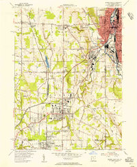
1954 Map of Sharon West
USGS Topo · Published 1956About this map
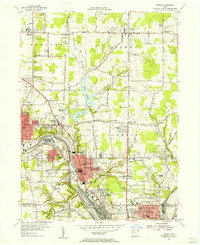
The industrial corridor of the Shenango River anchors this 1954 survey, capturing the mid-century peak of the Ohio-Pennsylvania borderlands. Heavy rail infrastructure, including the Erie RR and New York Central, crisscrosses the landscape, serving the dense residential and commercial centers of Hubbard and Masury. The map reveals the intricate social fabric of the era, from the established neighborhoods of McGuffey Heights to the numerous local congregations and burial grounds such as St Patrick Cem and Veech Ch.
Find a feature on this map
67 named features on this map. Tap any name to fly to it.
Don’t see what you’re looking for? This feature index may not catch every label — zoom into the map to look around manually.
Map Details
Editions of this 1954 Sharon West Map
This is the sole edition of this map. No revisions or reprints were ever made.
Other maps of this area

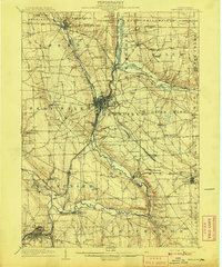
1905 · Neshannock
USGS Topo · 1:62,500

1906 · Youngstown
USGS Topo · 1:62,500

1907 · Neshannock
USGS Topo · 1:62,500

1907 · Kinsman
USGS Topo · 1:62,500
1908 · Shenango
USGS Topo · 1:62,500

1908 · Youngstown
USGS Topo · 1:62,500

1950 · Cleveland
USGS Topo · 1:250,000
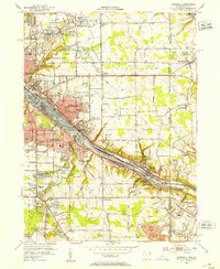
1951 · Campbell
USGS Topo · 1:24,000
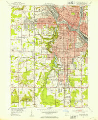
1951 · Youngstown
USGS Topo · 1:24,000
1954 · Girard
USGS Topo · 1:24,000