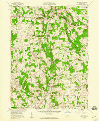
1958 Map of Greenfield
USGS Topo · Published 1959About this map
The agricultural and rural landscape of Mercer and Lawrence Counties is defined by the winding course of Little Neshannock Creek and its tributaries during the late 1950s. Smaller communities like Charleston, Greenfield, and Hoagland dot the countryside, connected by early infrastructure such as the Bend Telephone Line and emerging utility corridors like the Pipeline near Indian Run. Local genealogy is well-represented through numerous rural institutions, including the Zahniser Cem and Lebanon Cem, alongside community centers such as Unity Ch and the Reed Sch.
Find a feature on this map
37 named features on this map. Tap any name to fly to it.
Don’t see what you’re looking for? This feature index may not catch every label — zoom into the map to look around manually.
Map Details
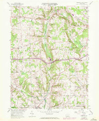
Editions of this 1958 Greenfield Map
2 editions found
Other maps of this area

1905 · Neshannock
USGS Topo · 1:62,500

1907 · Neshannock
USGS Topo · 1:62,500

1908 · Shenango
USGS Topo · 1:62,500

1911 · Stoneboro
USGS Topo · 1:62,500

1913 · Stoneboro
USGS Topo · 1:62,500

1913 · Mercer
USGS Topo · 1:62,500

1939 · Mercer
USGS Topo · 1:62,500

1943 · Mercer
USGS Topo · 1:62,500

1943 · Stoneboro
USGS Topo · 1:62,500

1950 · Cleveland
USGS Topo · 1:250,000
Featured Places
- New Wilmington, PA
- Lackawannock Township, PA
- East Lackawannock Township, PA
- Springfield Township, PA
- Coolspring Township, PA