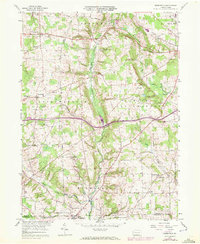
1958 Map of Greenfield
USGS Topo · Published 1972About this map
Little Neshannock Creek and its various branches carve through the agricultural landscape of northern Wilmington and southern Lackawannock townships. This 1958 survey, updated with 1970 aerial data, reveals a rural community defined by family-named landmarks and small educational and spiritual centers. Small clusters of homes and farmsteads center around settlements like Greenfield and Hoagland, while the construction of Interstate 80 introduces a major transportation artery across the rolling valley floor. Local heritage is preserved in the numerous country cemeteries and historic church sites, such as White Chapel Ch and Unity Ch, which anchored the social life of these townships for generations. The map also records the location of old schoolhouses like Zuver Sch and Ligo Sch, offering a detailed view of the rural infrastructure before late-century consolidation changed the local landscape.
Find a feature on this map
31 named features on this map. Tap any name to fly to it.
Don’t see what you’re looking for? This feature index may not catch every label — zoom into the map to look around manually.
Map Details
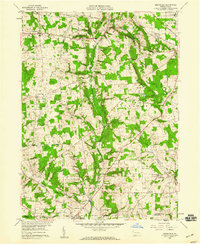
Editions of this 1958 Greenfield Map
2 editions found
Other maps of this area

1905 · Neshannock
USGS Topo · 1:62,500

1907 · Neshannock
USGS Topo · 1:62,500

1908 · Shenango
USGS Topo · 1:62,500

1911 · Stoneboro
USGS Topo · 1:62,500

1913 · Stoneboro
USGS Topo · 1:62,500

1913 · Mercer
USGS Topo · 1:62,500

1939 · Mercer
USGS Topo · 1:62,500

1943 · Mercer
USGS Topo · 1:62,500

1943 · Stoneboro
USGS Topo · 1:62,500

1950 · Cleveland
USGS Topo · 1:250,000
Featured Places
- New Wilmington, PA
- Lackawannock Township, PA
- East Lackawannock Township, PA
- Springfield Township, PA
- Coolspring Township, PA