
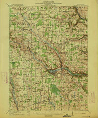
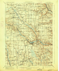
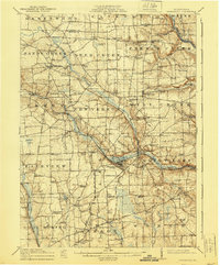
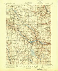
1913 Map of Stoneboro
USGS Topo · Published 1913About this map
French Creek and Sandy Creek define the landscape of this 1913 survey, which documents the rural character of Mercer County before modern highway expansion. The map reveals a dense network of early 20th-century social infrastructure, including dozens of one-room schoolhouses like Boylan School and Gourley School, alongside local industrial sites such as Norths Mills. Transportation of the era is clearly marked by the Pennsylvania System and the New Castle and Oil City Line, which intersect at Stoneboro and Jackson Center.
Find a feature on this map
103 named features on this map. Tap any name to fly to it.
Don’t see what you’re looking for? This feature index may not catch every label — zoom into the map to look around manually.
Map Details
Editions of this 1913 Stoneboro Map
5 editions found
Other maps of this area

1905 · Neshannock
USGS Topo · 1:62,500

1906 · Linesville
USGS Topo · 1:62,500

1907 · Neshannock
USGS Topo · 1:62,500

1908 · Shenango
USGS Topo · 1:62,500

1908 · Linesville
USGS Topo · 1:62,500

1909 · Franklin
USGS Topo · 1:62,500

1910 · Hilliards
USGS Topo · 1:62,500

1911 · Franklin
USGS Topo · 1:62,500

1911 · Stoneboro
USGS Topo · 1:62,500

1912 · Hilliards
USGS Topo · 1:62,500