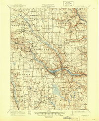
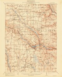
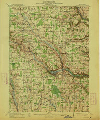
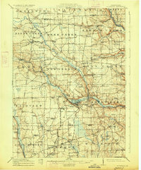
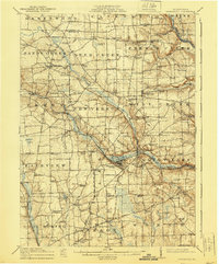
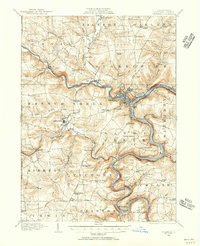
1913 Map of Stoneboro
USGS Topo · Published 1945About this map
Stoneboro and the adjacent Sandy Lake anchor this 1913 survey of Mercer County, showing a landscape defined by an intricate network of rural schoolhouses and small settlements. The region is bisected by significant rail corridors, including the Lake Shore and Michigan Southern RR and the Pittsburgh Bessemer and Lake Erie RR, which facilitated the movement of goods and people across Western Pennsylvania. Small crossroads like Sheakleyville, New Lebanon, and Milledgeville appear with their original footprints, surrounded by dozens of local education centers such as Butler School, Pike School, and Ross School. The terrain is characterized by winding waterways like French Creek and Little Sandy Creek, alongside notable wetlands including Cranberry Swamp and Halfmoon Swamp. This map provides a detailed view of the early 20th-century township structure, preserving the locations of community landmarks like Deer Creek Church and Oak Hill Cemetery during a period of peak rural development.
Find a feature on this map
158 named features on this map. Tap any name to fly to it.
Don’t see what you’re looking for? This feature index may not catch every label — zoom into the map to look around manually.
Map Details
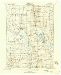
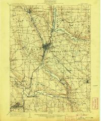
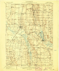
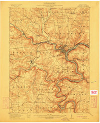
Editions of this 1913 Stoneboro Map
5 editions found
Other maps of this area

1905 · Neshannock
USGS Topo · 1:62,500
1906 · Linesville
USGS Topo · 1:62,500

1907 · Neshannock
USGS Topo · 1:62,500
1908 · Shenango
USGS Topo · 1:62,500
1908 · Linesville
USGS Topo · 1:62,500
1909 · Franklin
USGS Topo · 1:62,500

1910 · Hilliards
USGS Topo · 1:62,500
1911 · Franklin
USGS Topo · 1:62,500
1911 · Stoneboro
USGS Topo · 1:62,500
1912 · Hilliards
USGS Topo · 1:62,500