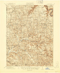
1910 Map of Hilliards
USGS Topo · Published 1956About this map
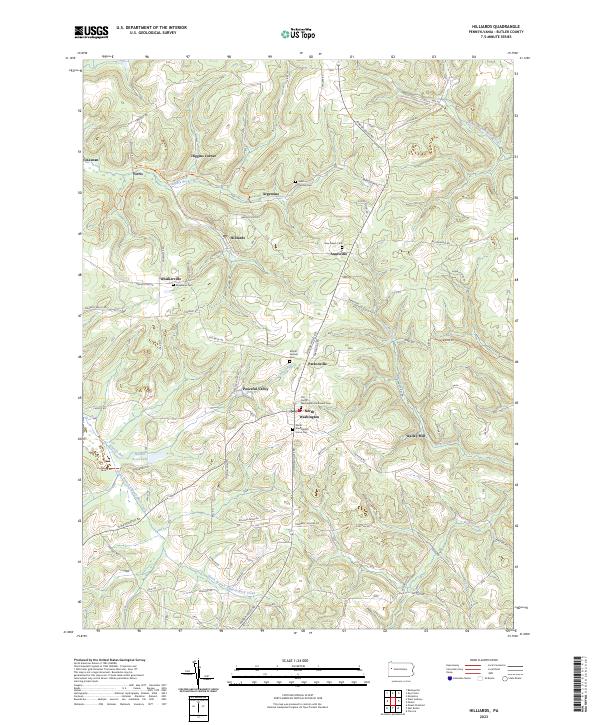
Slippery Rock Creek and the Allegheny River define the topography of this corner of Butler and Venango Counties as it appeared following a 1910 survey. The landscape is a network of small agricultural and mining-adjacent hamlets connected by historic corridors like Pittsburg Road. Evidence of the region’s early industrial development is clear through the Bessemer and Lake Erie RR, which serves resource-rich locations such as Hilliards and Annandale. The mapping of dozens of rural schools, such as Victory School and McCoy School, reveals the dense, decentralized settlement pattern common in western Pennsylvania before school consolidation. Notable local landmarks like the Anderson Stone House and several water-powered operations, including Sutton Mill and Gilmans Mill, provide specific locations for genealogists and local historians tracking family homesteads and early trades.
Find a feature on this map
127 named features on this map. Tap any name to fly to it.
Don’t see what you’re looking for? This feature index may not catch every label — zoom into the map to look around manually.
Map Details
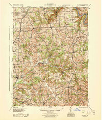
Editions of this 1910 Hilliards Map
This is the sole edition of this map. No revisions or reprints were ever made.
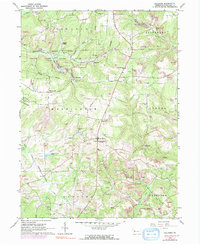
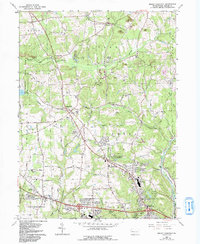
Historical Maps of Rockland Township Through Time
7 maps found