
1908 Map of Foxburg
USGS Topo · Published 1908About this map
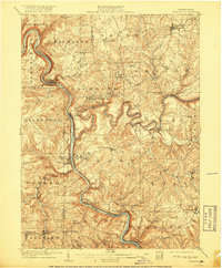
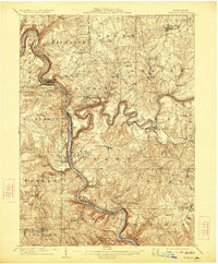
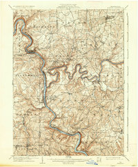
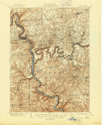
The Allegheny River and Clarion River dominate this early 1900s landscape, converging in a network of steep valleys and sharp river bends that defined the local industrial and transportation hubs. At the height of the region's resource-driven economy, settlements like Parkers Landing and Foxburg thrived along the riverbanks, supported by the Pennsylvania RR and the Baltimore and Ohio RR. The map reveals a dense concentration of local industry, including iron production at Canoe Furnace and Sarah Furnace, alongside coal extraction at the Blue Goose Mine and Eagle Mine. Genealogists will find a wealth of specific locations such as New Salem Lamartine PO and Edenburg Knox PO, which served the scattered farming and mining communities. Numerous grist mills, including Martins Mill and Kissingers Mill, dot the runs and creeks, illustrating a landscape where small-scale water-powered industry still operated alongside larger mining and rail operations.
Find a feature on this map
93 named features on this map. Tap any name to fly to it.
Don’t see what you’re looking for? This feature index may not catch every label — zoom into the map to look around manually.
Map Details
Editions of this 1908 Foxburg Map
5 editions found
Other maps of this area

1900 · Kittanning
USGS Topo · 1:62,500

1901 · Rural Valley
USGS Topo · 1:62,500

1902 · Kittanning
USGS Topo · 1:62,500

1903 · Rural Valley
USGS Topo · 1:62,500

1906 · Clarion
USGS Topo · 1:62,500

1907 · Clarion
USGS Topo · 1:62,500

1907 · Foxburg
USGS Topo · 1:62,500

1909 · Franklin
USGS Topo · 1:62,500

1909 · Butler
USGS Topo · 1:62,500

1910 · Hilliards
USGS Topo · 1:62,500