
1911 Map of Butler
USGS Topo · Published 1911About this map
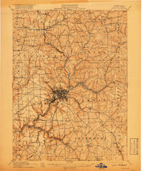
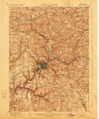
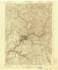
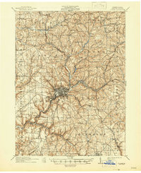
Butler serves as the industrial and transit anchor for this West-Central Pennsylvania landscape, where a dense network of railroads and early electric lines converge. The town's urban grid is surrounded by a patchwork of rural townships including Clay, Center, and Summit. The transport infrastructure of the era is remarkably detailed, featuring the Pittsburg and Butler Electric Railway and the Bessemer and Lake Erie RR, which facilitated the movement of coal and manufactured goods. Beyond the industrial center, the map documents a transition into agrarian life, marked by numerous country schools like McKee School and Elliott School, alongside local landmarks such as Frazier Mill and several community churches including White Church and Shiloh Church. Small settlements like Oneida, Saxonburg, and Renfrew illustrate the dispersed nature of early twentieth-century settlement before modern highway expansion.
Find a feature on this map
97 named features on this map. Tap any name to fly to it.
Don’t see what you’re looking for? This feature index may not catch every label — zoom into the map to look around manually.
Map Details
Editions of this 1911 Butler Map
5 editions found
Other maps of this area

1900 · Kittanning
USGS Topo · 1:62,500

1902 · Kittanning
USGS Topo · 1:62,500

1906 · Sewickley
USGS Topo · 1:62,500

1907 · Foxburg
USGS Topo · 1:62,500

1907 · Freeport
USGS Topo · 1:62,500

1908 · Foxburg
USGS Topo · 1:62,500

1908 · Sewickley
USGS Topo · 1:62,500

1908 · New Kensington
USGS Topo · 1:62,500

1908 · Zelienople
USGS Topo · 1:62,500

1909 · Freeport
USGS Topo · 1:62,500