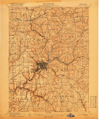
1911 Map of Butler
USGS Topo · Published 1918About this map
The industrial and transit hub of Butler serves as the focal point of this Butler County survey, showing the city's dense gridiron streets and the convergence of multiple rail lines. Steel and heavy industry are evidenced by the development of worker communities like Lyndora and nearby Bredinville, while the Pittsburgh and Butler Electric line traces a path through the southern townships. The landscape is deeply carved by the Connoquenessing Creek and its many tributaries, such as Thorn Creek and Little Buffalo Run, which historically dictated the placement of early mills like Frazier Mill.
Find a feature on this map
104 named features on this map. Tap any name to fly to it.
Don’t see what you’re looking for? This feature index may not catch every label — zoom into the map to look around manually.
Map Details
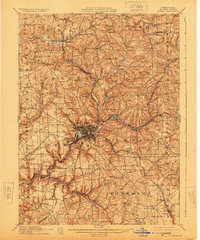
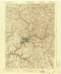
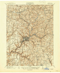
Editions of this 1911 Butler Map
5 editions found

Other maps of this area

1900 · Kittanning
USGS Topo · 1:62,500

1902 · Kittanning
USGS Topo · 1:62,500

1906 · Sewickley
USGS Topo · 1:62,500

1907 · Foxburg
USGS Topo · 1:62,500

1907 · Freeport
USGS Topo · 1:62,500

1908 · Foxburg
USGS Topo · 1:62,500

1908 · Sewickley
USGS Topo · 1:62,500

1908 · New Kensington
USGS Topo · 1:62,500

1908 · Zelienople
USGS Topo · 1:62,500

1909 · Freeport
USGS Topo · 1:62,500