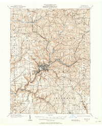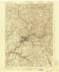
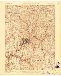
1911 Map of Butler
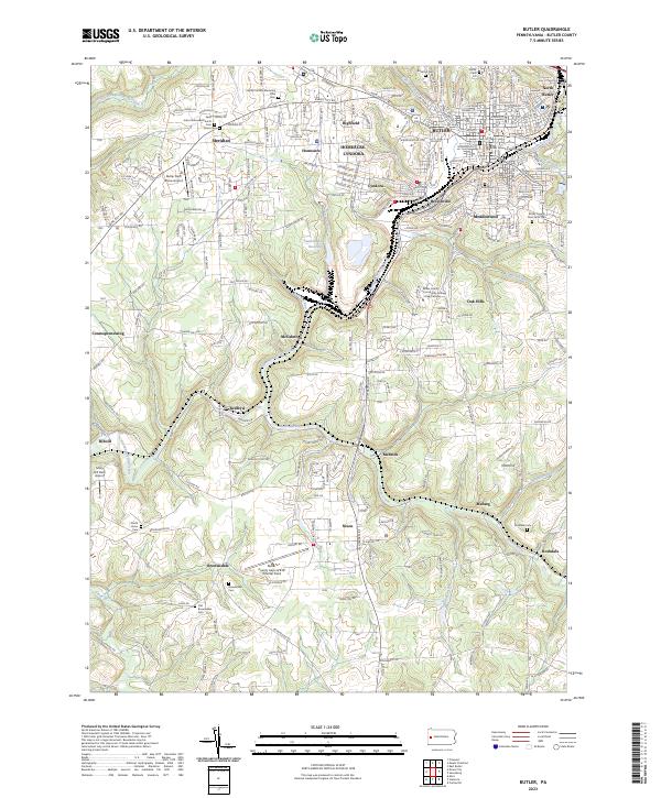
USGS Topo · Published 1940About this map
Butler serves as the industrial and transportation hub for this Western Pennsylvania region at the dawn of the twentieth century. The landscape is defined by an intricate web of early rail lines, including the Western Allegheny RR, Pittsburgh And Western RR, and the Electric RR, which facilitated the movement of coal, oil, and passengers between rural outposts like Renfrew Sta and Queen Junction. The map captures a moment when the transition from agrarian life to industrialization was well underway, evidenced by numerous rural schools such as Thompson School and Campbell School standing alongside the growing urban grid of the county seat.
Find a feature on this map
98 named features on this map. Tap any name to fly to it.
Don’t see what you’re looking for? This feature index may not catch every label — zoom into the map to look around manually.
Map Details
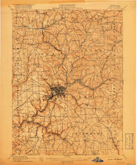
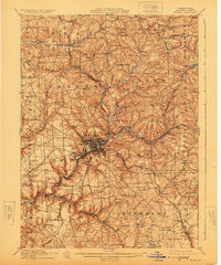
Editions of this 1911 Butler Map
5 editions found
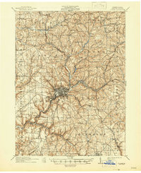
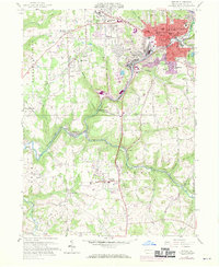
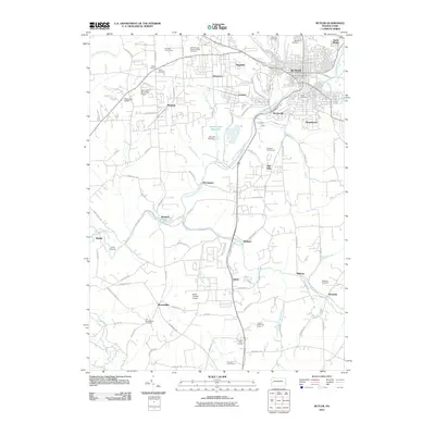
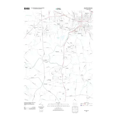
Historical Maps of Butler Through Time
8 maps found