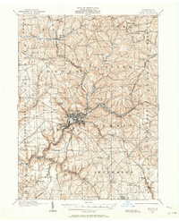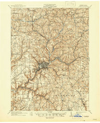
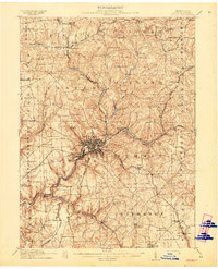
1911 Map of Butler
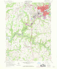
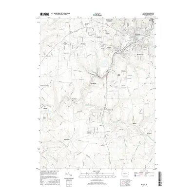
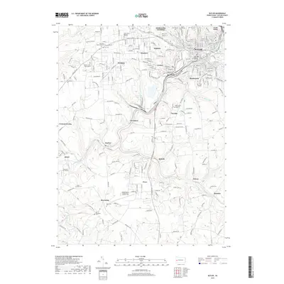
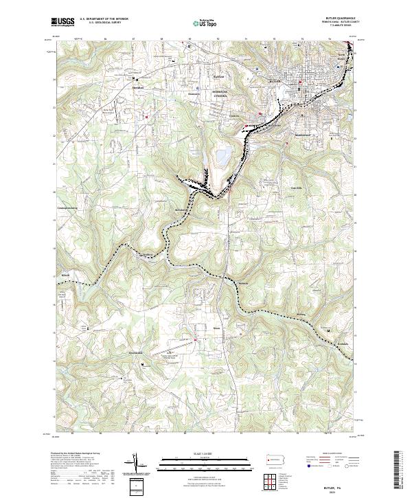
USGS Topo · Published 1946About this map
The city of Butler serves as the industrial and transit hub of this 1900s landscape, where a complex network of rail lines including the Baltimore and Ohio RR and the Bessemer and Lake Erie RR converges. The map reveals the early 20th-century development of surrounding communities like the worker housing at Lyndora and the recreation grounds at Alameda Park. To the north and east, the terrain is defined by a series of narrow creek valleys, such as Bonnie Brook and Connoquenessing Creek, which are dotted with family-named landmarks like Frazier Mill.
Find a feature on this map
109 named features on this map. Tap any name to fly to it.
Don’t see what you’re looking for? This feature index may not catch every label — zoom into the map to look around manually.
Map Details
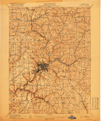
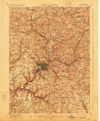
Editions of this 1911 Butler Map
5 editions found
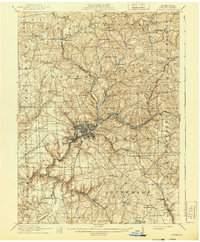
Historical Maps of Butler Through Time
8 maps found