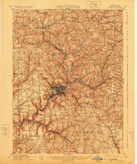
1911 Map of Butler
USGS Topo · Published 1924About this map
The industrial and rail hub of Butler serves as the focal point of this early twentieth-century survey, surrounded by a dense network of specialized settlements and rural infrastructure. The landscape is defined by the winding course of Connoquenessing Creek and its tributaries like Little Connoquenessing Creek, which carved the valleys that several major railroads followed. Industrial centers like Lyndora and East Butler appear alongside numerous rural schoolhouses, including Thompson School and Elliott School, which anchored the surrounding townships.
Find a feature on this map
82 named features on this map. Tap any name to fly to it.
Don’t see what you’re looking for? This feature index may not catch every label — zoom into the map to look around manually.
Map Details
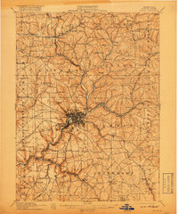
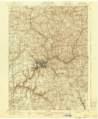
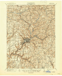
Editions of this 1911 Butler Map
5 editions found

Other maps of this area

1900 · Kittanning
USGS Topo · 1:62,500

1902 · Kittanning
USGS Topo · 1:62,500

1906 · Sewickley
USGS Topo · 1:62,500

1907 · Foxburg
USGS Topo · 1:62,500

1907 · Freeport
USGS Topo · 1:62,500

1908 · Foxburg
USGS Topo · 1:62,500

1908 · Sewickley
USGS Topo · 1:62,500

1908 · New Kensington
USGS Topo · 1:62,500

1908 · Zelienople
USGS Topo · 1:62,500

1909 · Freeport
USGS Topo · 1:62,500