
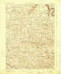
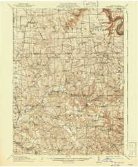
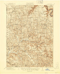
1912 Map of Hilliards
USGS Topo · Published 1912About this map
Scrubgrass Creek and its various forks carve through the landscape of Northern Butler and Southern Venango Counties, defining a region where rural industry and education were deeply decentralized. The 1912 landscape is characterized by a high density of one-room schoolhouses like Victory School and McCoy School, which served dispersed farming and mining clusters. The arrival of the Bessemer and Lake Erie RR and the Pennsylvania RR integrated remote settlements such as Annandale and Branchton into the broader industrial economy of Pennsylvania.
Find a feature on this map
133 named features on this map. Tap any name to fly to it.
Don’t see what you’re looking for? This feature index may not catch every label — zoom into the map to look around manually.
Map Details
Editions of this 1912 Hilliards Map
4 editions found
Other maps of this area

1900 · Kittanning
USGS Topo · 1:62,500

1902 · Kittanning
USGS Topo · 1:62,500

1907 · Foxburg
USGS Topo · 1:62,500

1908 · Foxburg
USGS Topo · 1:62,500

1908 · Zelienople
USGS Topo · 1:62,500

1909 · Franklin
USGS Topo · 1:62,500

1909 · Butler
USGS Topo · 1:62,500

1910 · Zelienople
USGS Topo · 1:62,500

1910 · Hilliards
USGS Topo · 1:62,500

1911 · Franklin
USGS Topo · 1:62,500