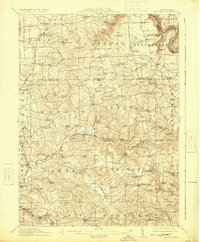
1912 Map of Hilliards
USGS Topo · Published 1924About this map
Clintonville and Eau Claire anchor this early 20th-century landscape at the intersection of Venango, Butler, and Mercer counties. The terrain is deeply carved by Scrubgrass Creek and the Allegheny River, which winds along the eastern boundary. This era's rural infrastructure is remarkably dense, featuring a network of country schoolhouses like Victory School and Coal Valley School, alongside local industrial sites such as Gillmans Mill and Sutton Mill.
Find a feature on this map
132 named features on this map. Tap any name to fly to it.
Don’t see what you’re looking for? This feature index may not catch every label — zoom into the map to look around manually.
Map Details
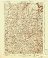
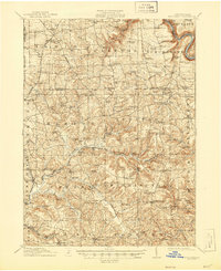
Editions of this 1912 Hilliards Map
4 editions found

Other maps of this area

1900 · Kittanning
USGS Topo · 1:62,500

1902 · Kittanning
USGS Topo · 1:62,500

1907 · Foxburg
USGS Topo · 1:62,500

1908 · Foxburg
USGS Topo · 1:62,500

1908 · Zelienople
USGS Topo · 1:62,500

1909 · Franklin
USGS Topo · 1:62,500

1909 · Butler
USGS Topo · 1:62,500

1910 · Zelienople
USGS Topo · 1:62,500

1910 · Hilliards
USGS Topo · 1:62,500

1911 · Franklin
USGS Topo · 1:62,500