
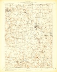
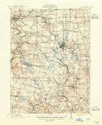
1913 Map of Mercer
USGS Topo · Published 1913About this map
The borough of Mercer stands as a central hub in this pre-war survey, where the Lake Shore and Michigan Southern RR and the Pennsylvania RR converge. To the east, Grove City exhibits a dense grid of development along the Bessemer and Lake Erie RR, serving as a significant industrial anchor for the region. The landscape is a mix of agricultural tracts and early industrial activity, notably marked by the Number Five Mine and an Oil Pumping Sta near Millburn School.
Find a feature on this map
134 named features on this map. Tap any name to fly to it.
Don’t see what you’re looking for? This feature index may not catch every label — zoom into the map to look around manually.
Map Details
Editions of this 1913 Mercer Map
6 editions found
Other maps of this area

1902 · New Castle
USGS Topo · 1:62,500

1904 · Newcastle
USGS Topo · 1:62,500

1905 · Neshannock
USGS Topo · 1:62,500

1907 · Neshannock
USGS Topo · 1:62,500

1908 · Shenango
USGS Topo · 1:62,500

1908 · Zelienople
USGS Topo · 1:62,500

1909 · Franklin
USGS Topo · 1:62,500

1909 · Butler
USGS Topo · 1:62,500

1910 · Zelienople
USGS Topo · 1:62,500

1910 · Hilliards
USGS Topo · 1:62,500