Loading...
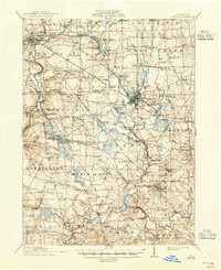
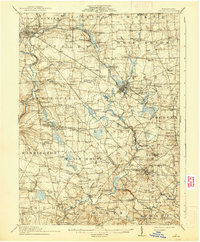
Loading map...1913 Map of Mercer
USGS Topo · Published 1944About this map
Mercer serves as the regional hub in this 1911 survey, where the Pennsylvania RR and Bessemer and Lake Erie RR intersect amidst a landscape of small agricultural and industrial hamlets. The map reveals a high density of rural infrastructure, from the State Normal School in the southeast to the State Hospital north of the county seat. The economy of the era is clearly visible through numerous family-named operations like Courtney Mills, Doughertys Mills, and the Number Five Mine near London.
Find a feature on this map
124 named features on this map. Tap any name to fly to it.
Don’t see what you’re looking for? This feature index may not catch every label — zoom into the map to look around manually.
Map Details
Date Portrayed1913
Date Published1944
PublisherU.S. Geological Survey
Map TypeTopographic
Scale1:62,500
Physical Dimensions17 x 20.9 inches
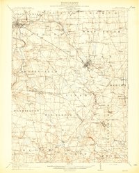
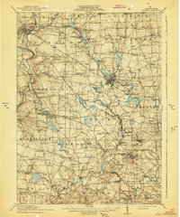
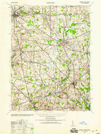
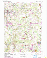
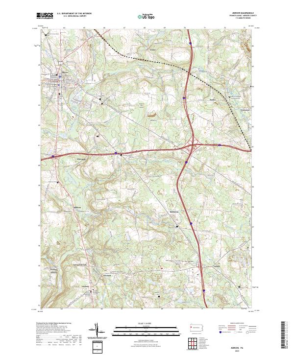
Editions of this 1913 Mercer Map
6 editions found

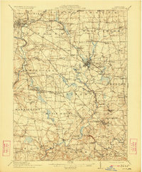
Historical Maps of Grove City Through Time
5 maps found

Featured Locations
Source Details
SourceU.S. Geological Survey
CopyrightPublic Domain