Old Maps of New Cumberland, Cumberland County for Academic Research
Study the evolution of New Cumberland with 22 high-resolution historic maps. Whether you're teaching, researching, or modeling changes in land use, these maps provide essential visual documentation of urban, environmental, and geographic change.
- Analyze long-term change: Track patterns in development, transportation, and natural features.
- Ideal for environmental or urban studies: Support academic projects with primary historical map data.
- Use in the classroom or lab: Educators and researchers rely on these maps to bring historical context to life.
These maps are a powerful tool for teaching, research, and visualizing how New Cumberland has changed over the decades.
New Cumberland, Cumberland County maps
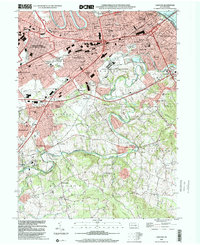
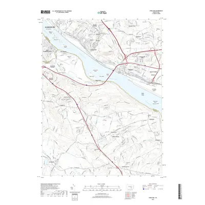
(22)- 1906 Map of New Cumberland
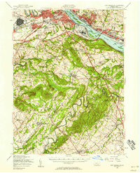
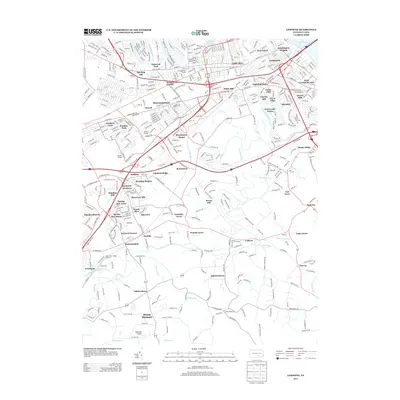
 1906 New Cumberland1906 Print · USGSCentral Pennsylvania at the opening of the twentieth century shows a landscape transitioning from canal-era transit to a heavy rail and industrial economy. Genealogists can locate family landmarks like Shafer Schoolhouse, Salem Church, and the Middletown Ferry.8 unique versions available
 - 1943 Map of New Cumberland
 1943 New Cumberland1943 Print · USGSGreater Harrisburg and the lower Susquehanna valley appear here in the midst of the Second World War, showing a landscape of intense military and social transition. Researchers can trace family roots through numerous country landmarks like Eberlys Mill, the Methodist Orphanage, and Messiah Bible College.
 - 1950 Map of Harrisburg, 1952 Print
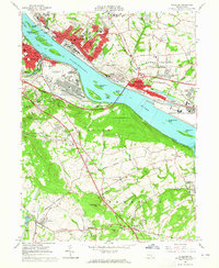
 1950 Harrisburg1952 Print · USGSMid-century Central Pennsylvania comes alive through its dense rail networks and river valley settlements during the post-war industrial era. Genealogists and historians can trace family roots through hubs like Harrisburg, locate Carlisle Barracks, or follow the Pennsylvania RR through the Lebanon Valley.
 - 1956 Map of New Cumberland, 1958 Print
 1956 New Cumberland1958 Print · USGSMid-century development meets deep-rooted Pennsylvania history as the post-war expansion of Harrisburg reaches toward the rural townships of York County. Trace family roots and local landmarks from Eberlys Mill and the Quaker Meetinghouse Cem to the sprawling Harrisburg State Airport.3 unique versions available
 - 1957 Map of Harrisburg
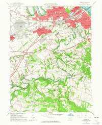
 1957 Harrisburg1957 Print · USGSMid-century Central Pennsylvania comes into focus as a bustling network of rail, river, and mountain ridges. Genealogists and historians can trace the development of the State Capitol and surrounding hubs like Middletown, Columbia, and Pottsville.7 unique versions available
 - 1961 Map of Harrisburg
 1961 Harrisburg1961 Print · USGSCentral Pennsylvania is shown at a mid-century peak of industrial and military activity, from the Susquehanna water gaps to the fertile Dutch Country. Genealogists and historians can trace the rail corridors of the Pennsylvania RR and find landmarks like Carlisle Barracks or the Anthracite Coal Fields.2 unique versions available
 - 1963 Map of Steelton, 1965 Print
 1963 Steelton1965 Print · USGSThe Susquehanna River corridor south of Harrisburg is shown here at its industrial and military peak in the early sixties. Genealogists can trace family names at Paddletown Cem and Fisher Cem or locate the historic Redland Friends Meetinghouse.3 unique versions available
 - 1963 Map of Lemoyne, 1965 Print
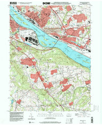
 1963 Lemoyne1965 Print · USGSCumberland County was undergoing rapid postwar growth in the early sixties as new suburbs filled the spaces between historic creek-side towns. Genealogists and historians can trace the development of Shiremanstown, the Messiah College campus, and local landmarks like Eberlys Mill and St Johns Cem.5 unique versions available
 - 1964 Map of Harrisburg
 1964 Harrisburg1964 Print · USGSCentral Pennsylvania in the mid-fifties reveals a landscape shaped by ridge-and-valley geology and critical Cold War infrastructure. Researchers can trace the massive Indiantown Gap Military Reservation or the rail corridors of the Pennsylvania RR and Reading RR.
 - 1984 Map of Harrisburg, 1985 Print
 1984 Harrisburg1985 Print · USGSCentral Pennsylvania in the mid-eighties shows a landscape defined by the winding Susquehanna River and the industrial growth of its river towns. Researchers can trace the rail corridors of Amtrak and Conrail or explore the bounds of Fort Indiantown Gap Military Reservation.2 unique versions available
 - 1998 Map of Steelton, 2000 Print
 1998 Steelton2000 Print · USGSThe Susquehanna River corridor south of Harrisburg shows a landscape defined by heavy industry and aviation at the close of the century. Local historians can trace the development of Steelton and Goldsboro (Etters PO) or locate family sites like Paddletown Cem and St Pauls Ch.
 - 1999 Map of Lemoyne, 2001 Print
 1999 Lemoyne2001 Print · USGSThe West Shore communities and the Susquehanna River are captured here at the end of the century. Trace the evolution of historic settlements like Shiremanstown and Eberlys Mill, or locate family sites at Lantz Cem and Messiah College.
 - 2010 Map of Lemoyne, 2010 Print
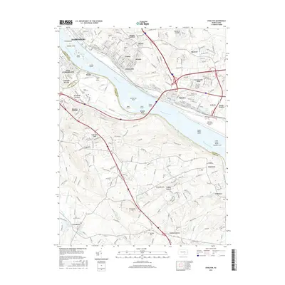
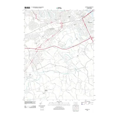 2010 Lemoyne2010 Print · USGSCovers New Cumberland, including Harrisburg, Lower Allen, and other nearby areas
 - 2010 Map of Steelton, 2010 Print
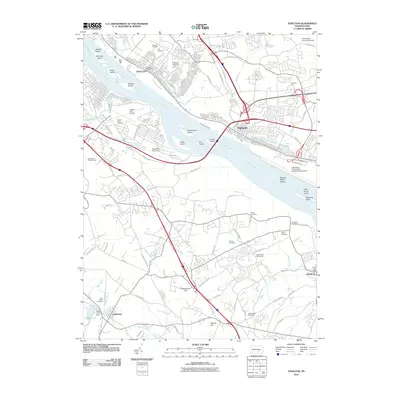 2010 Steelton2010 Print · USGSCovers New Cumberland, including Harrisburg, Lower Allen, and other nearby areas
 - 2013 Map of Steelton, 2013 Print
 2013 Steelton2013 Print · USGSCovers New Cumberland, including Harrisburg, Lower Allen, and other nearby areas
 - 2013 Map of Lemoyne, 2013 Print
 2013 Lemoyne2013 Print · USGSCovers New Cumberland, including Harrisburg, Lower Allen, and other nearby areas
 - 2016 Map of Steelton, 2016 Print
 2016 Steelton2016 Print · USGSCovers New Cumberland, including Harrisburg, Lower Allen, and other nearby areas
 - 2016 Map of Lemoyne, 2016 Print
 2016 Lemoyne2016 Print · USGSCovers New Cumberland, including Harrisburg, Lower Allen, and other nearby areas
 - 2019 Map of Lemoyne, 2019 Print
 2019 Lemoyne2019 Print · USGSCovers New Cumberland, including Harrisburg, Lower Allen, and other nearby areas
 - 2019 Map of Steelton, 2019 Print
 2019 Steelton2019 Print · USGSCovers New Cumberland, including Harrisburg, Lower Allen, and other nearby areas
 - 2023 Map of Steelton, 2023 Print
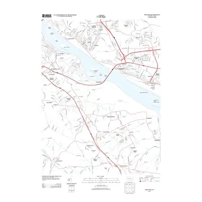
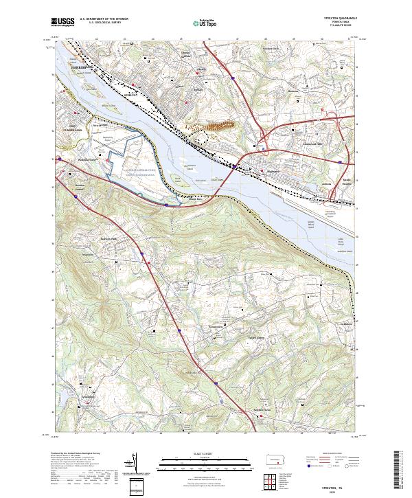 2023 Steelton2023 Print · USGSThe riverfront communities south of Harrisburg are captured in detail here, from the industrial corridors of Steelton to the heights of Yocumtown. Researchers can locate numerous family burial grounds and historic sites like the Pennsylvania Canal, Stoner Family Farm Cem, and Newberry Friends Original Cem.
 - 2023 Map of Lemoyne, 2023 Print
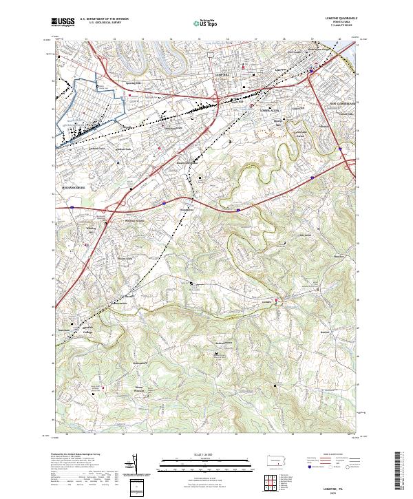 2023 Lemoyne2023 Print · USGSThe West Shore of the Susquehanna thrives in the early twenty-first century, balancing suburban growth with historic river hamlets. Researchers can trace family sites at Eberlys Mill, Messiah College, and Lisburn Cem.
End of results
Showing maps 1-22 of 22
Frequently asked questions
- What are the different types of historical maps available for New Cumberland?
- What is the oldest map of New Cumberland?
- Where can I purchase historical maps of New Cumberland for my home or office?
- Where can I download high-res historical maps of New Cumberland?
- Are there historical topographic maps available for New Cumberland?
- Is there historical aerial imagery available for New Cumberland?
- Where are historical maps of New Cumberland sourced from?