Old Maps of Rolling Ridge, Harborcreek Township for Genealogy
Trace your family roots with 21 historic maps of Rolling Ridge. These high-res maps reveal old neighborhoods, homesites, landmarks, and streets — helping you uncover where your ancestors lived and how the area evolved over time.
- Explore historic neighborhoods: Identify where your relatives may have lived in the 1800s or 1900s.
- Compare maps over time: Trace the changes in streets, buildings, and landmarks for multi-generational research.
- Perfect for genealogy & ancestry research: Used by family historians and researchers to map out lineage and migration.
These maps are an incredible resource for exploring your personal connection to Rolling Ridge's past.
Rolling Ridge, Harborcreek Township maps
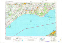
(21)- 1899 Map of Erie, 1956 Print
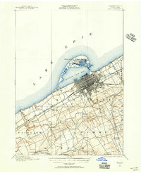 1899 Erie1956 Print · USGSCovers Rolling Ridge, including Erie, Harborcreek Township, and other nearby areas
 - 1900 Map of Erie
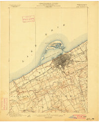 1900 Erie1900 Print · USGSCovers Rolling Ridge, including Erie, Harborcreek Township, and other nearby areas8 unique versions available
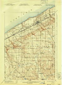
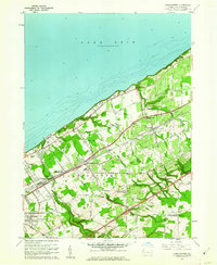
 - 1913 Map of North East, 1962 Print
 1913 North East1962 Print · USGSCovers Rolling Ridge, including Harborcreek Township, North East, and other nearby areas
 - 1915 Map of North East
 1915 North East1915 Print · USGSCovers Rolling Ridge, including Harborcreek Township, North East, and other nearby areas5 unique versions available
 - 1943 Map of North East
 1943 North East1943 Print · USGSCovers Rolling Ridge, including Harborcreek Township, North East, and other nearby areas
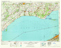
 - 1950 Map of Erie, 1953 Print
 1950 Erie1953 Print · USGSCovers Rolling Ridge, including London, Erie, and other nearby areas
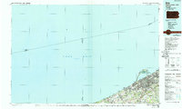
 - 1957 Map of Erie North, 1959 Print
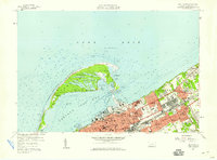 1957 Erie North1959 Print · USGSCovers Rolling Ridge, including Erie, Harborcreek Township, and other nearby areas4 unique versions available
 - 1959 Map of Erie, 1974 Print
 1959 Erie1974 Print · USGSCovers Rolling Ridge, including London, Erie, and other nearby areas2 unique versions available
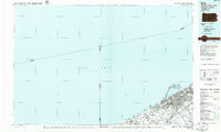
 - 1960 Map of Buffalo
 1960 Buffalo1960 Print · USGSCovers Rolling Ridge, including Buffalo, Amherst, and other nearby areas
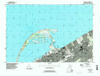
 - 1960 Map of Harborcreek, 1962 Print
 1960 Harborcreek1962 Print · USGSCovers Rolling Ridge, including Harborcreek Township, North East Township, and other nearby areas3 unique versions available
 - 1962 Map of Buffalo, 1980 Print
 1962 Buffalo1980 Print · USGSCovers Rolling Ridge, including Buffalo, Amherst, and other nearby areas2 unique versions available
 - 1965 Map of Erie
 1965 Erie1965 Print · USGSCovers Rolling Ridge, including London, Erie, and other nearby areas
 - 1967 Map of Buffalo
 1967 Buffalo1967 Print · USGSCovers Rolling Ridge, including Buffalo, Amherst, and other nearby areas
 - 1973 Map of Buffalo
 1973 Buffalo1973 Print · USGSCovers Rolling Ridge, including Buffalo, Amherst, and other nearby areas
 - 1985 Map of Erie, 1986 Print
 1985 Erie1986 Print · USGSCovers Rolling Ridge, including Erie, Harborcreek Township, and other nearby areas
 - 1986 Map of Jamestown
 1986 Jamestown1986 Print · USGSCovers Rolling Ridge, including Jamestown, Harborcreek Township, and other nearby areas2 unique versions available
 - 1988 Map of Erie, 1989 Print
 1988 Erie1989 Print · USGSCovers Rolling Ridge, including Erie, Harborcreek Township, and other nearby areas
 - 1996 Map of Erie North
 1996 Erie North1996 Print · USGSCovers Rolling Ridge, including Erie, Harborcreek Township, and other nearby areas
 - 1996 Map of Harborcreek
 1996 Harborcreek1996 Print · USGSCovers Rolling Ridge, including Harborcreek Township, North East Township, and other nearby areas
 - 2023 Map of Harborcreek, 2023 Print
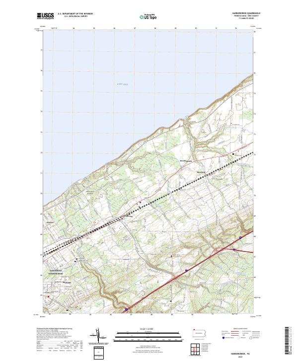 2023 Harborcreek2023 Print · USGSCovers Rolling Ridge, including Harborcreek Township, Greenfield Township, and other nearby areas
 - 2023 Map of Erie North, 2023 Print
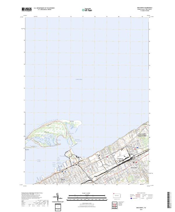 2023 Erie North2023 Print · USGSCovers Rolling Ridge, including Erie, Harborcreek Township, and other nearby areas
End of results
Showing maps 1-21 of 21
Frequently asked questions
- What are the different types of historical maps available for Rolling Ridge?
- What is the oldest map of Rolling Ridge?
- Where can I purchase historical maps of Rolling Ridge for my home or office?
- Where can I download high-res historical maps of Rolling Ridge?
- Are there historical topographic maps available for Rolling Ridge?
- Is there historical aerial imagery available for Rolling Ridge?
- Where are historical maps of Rolling Ridge sourced from?