2020s Maps of Millcreek Township, Pennsylvania
Explore 5 historic maps of Millcreek Township from the 2020s. These maps offer a rare glimpse into what life looked like during the 2020s — showing old roads, neighborhoods, homes, and landmarks that have changed or disappeared over time.
Whether you're researching your family's past, planning a metal detecting trip, or studying how Millcreek Township's landscape evolved across the 2020s, these high-resolution maps are a powerful tool for exploring the history of this region.
- Focus on a specific era: All maps on this page are from the 2020s, giving you a focused view of this time period.
- See what’s changed: Compare century-old streets, trails, and buildings to today's modern landscape using overlays and satellite layers.
- Research with precision: Use these maps for genealogy, historical research, land use analysis, or educational projects.
- View, download, or print: Maps are fully viewable online in high resolution, and can be downloaded or printed for your own records.
Start exploring Millcreek Township's history through authentic maps from the 2020s. This is your window into the past.
Millcreek Township, PA maps
(5)- 2023 Map of Erie North OE W, 2023 Print
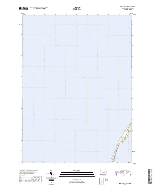 2023 Erie North OE W2023 Print · USGSThe northern reaches of Erie County meet the open water in this modern survey of the Presque Isle shoreline. Outdoor enthusiasts and local researchers can trace the coastal route of the Karl Boyes Multi-Purpose National Recreation Trl and the sharp turn at Big Bend.
 - 2023 Map of Hammett, 2023 Print
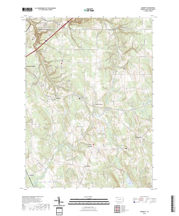 2023 Hammett2023 Print · USGSSoutheast of Erie in the early 2020s, this area maintains its character as a landscape of wooded gorges and quiet crossroads. Genealogists can locate numerous burial sites including Old Butler Burial Ground and Wales Cem near the historic Phillipsville settlement.
 - 2023 Map of Swanville, 2023 Print
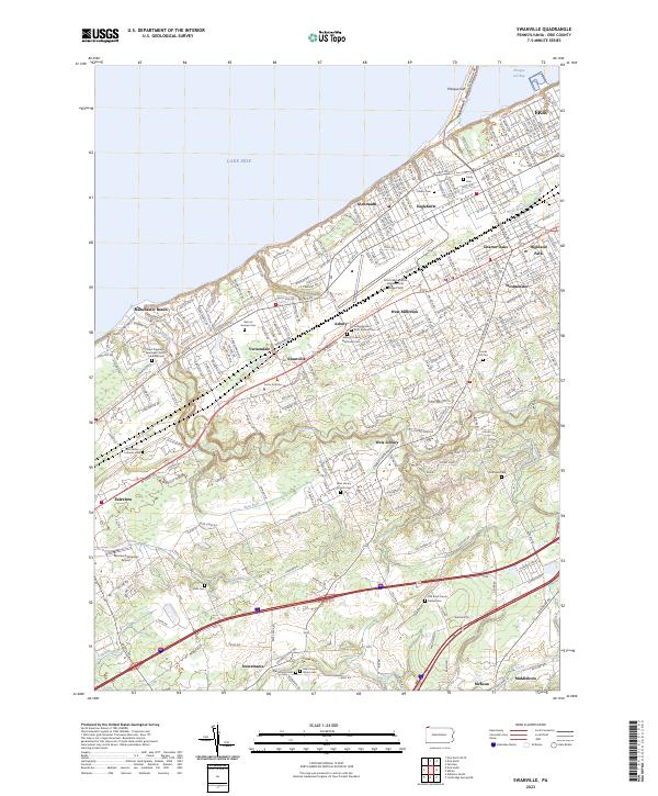 2023 Swanville2023 Print · USGSGreater Erie and its southwestern suburbs meet the lakefront in this contemporary topographic survey. Genealogists and local historians can trace burial sites from Trinity Cem to the Ruhl Cem and locate landmarks like the Fairview Evergreen Airport.
 - 2023 Map of Erie North, 2023 Print
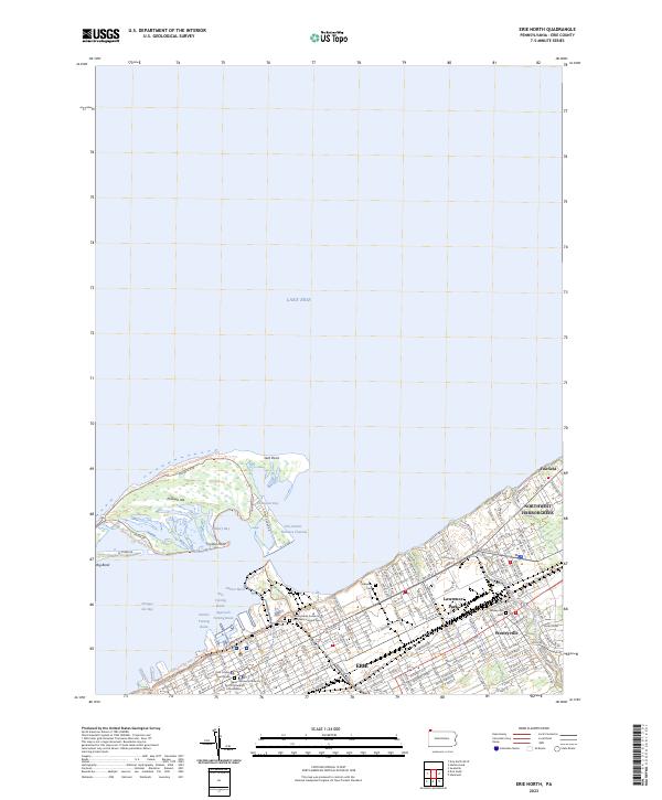 2023 Erie North2023 Print · USGSThe Erie waterfront and the protective arc of Presque Isle are shown in modern detail during the early 2020s. Researchers can locate Lakeside Cem, the Pennsylvania Soldier's and Sailor's Home Cem, and the urban expansion of Wesleyville.
 - 2023 Map of Erie South, 2023 Print
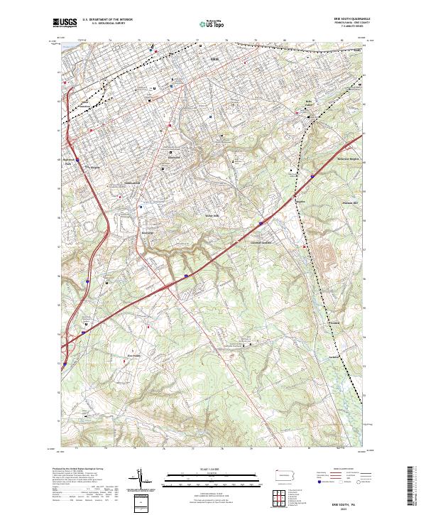 2023 Erie South2023 Print · USGSThe suburbs of Erie are documented here in 2023, tracing the city's growth toward the southern hills and creeks. Genealogists can locate several burial grounds, including Anshe Hesed Cem and Saint Matthews in the Woods Cem.
End of results
Showing maps 1-5 of 5
Top cities near Millcreek Township
- Erie historical maps
- Harborcreek Township historical maps
- Fairview Township historical maps
- Lawrence Park Township historical maps
- Wesleyville historical maps
- Girard historical maps
See more
Top neighborhoods of Millcreek Township
- Belle Valley historical maps
- Swanville historical maps
- Weis Library historical maps
- West Millcreek historical maps
- Kearsarge historical maps
- Asbury historical maps
See more
Frequently asked questions
- What are the different types of historical maps available for Millcreek Township?
- What is the oldest map of Millcreek Township?
- Where can I purchase historical maps of Millcreek Township for my home or office?
- Where can I download high-res historical maps of Millcreek Township?
- Are there historical topographic maps available for Millcreek Township?
- Is there historical aerial imagery available for Millcreek Township?
- Where are historical maps of Millcreek Township sourced from?