2000s (21st Century) Maps of Brush Creek Township, Pennsylvania
Explore 26 historic maps of Brush Creek Township from the 2000s (21st Century). These maps offer a rare glimpse into what life looked like during the 2000s — showing old roads, neighborhoods, homes, and landmarks that have changed or disappeared over time.
Whether you're researching your family's past, planning a metal detecting trip, or studying how Brush Creek Township's landscape evolved across the 2000s, these high-resolution maps are a powerful tool for exploring the history of this region.
- Focus on a specific era: All maps on this page are from the 2000s, giving you a focused view of this time period.
- See what’s changed: Compare century-old streets, trails, and buildings to today's modern landscape using overlays and satellite layers.
- Research with precision: Use these maps for genealogy, historical research, land use analysis, or educational projects.
- View, download, or print: Maps are fully viewable online in high resolution, and can be downloaded or printed for your own records.
Start exploring Brush Creek Township's history through authentic maps from the 2000s. This is your window into the past.
Brush Creek Township, PA maps
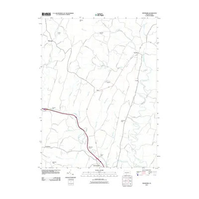
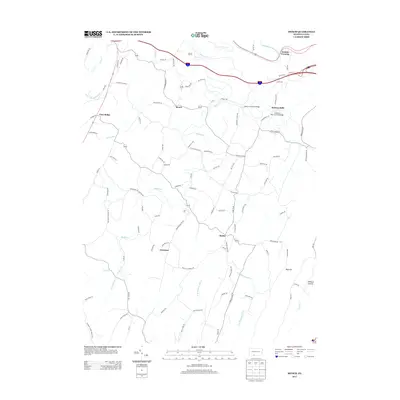
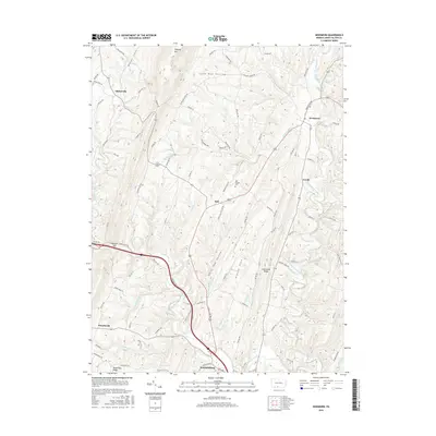
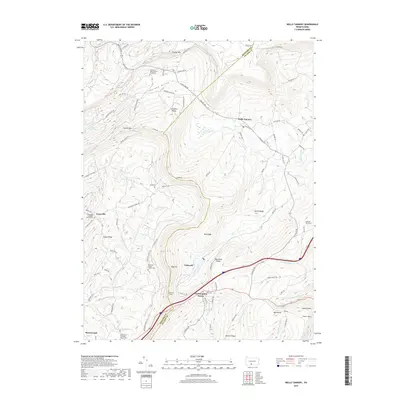
(26)- 2010 Map of Wells Tannery, 2010 Print
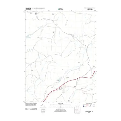 2010 Wells Tannery2010 Print · USGSCovers Brush Creek Township, including Valley-Hi, East Providence Township, and other nearby areas
 - 2010 Map of Breezewood, 2010 Print
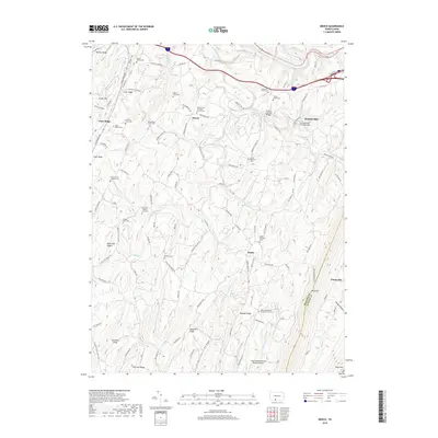
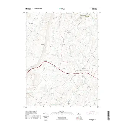
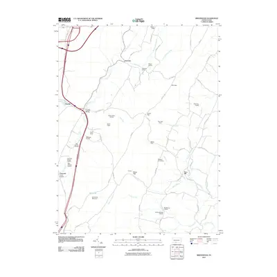 2010 Breezewood2010 Print · USGSCovers Brush Creek Township, including East Providence Township, Gapsville, and other nearby areas
 - 2010 Map of Mench, 2010 Print
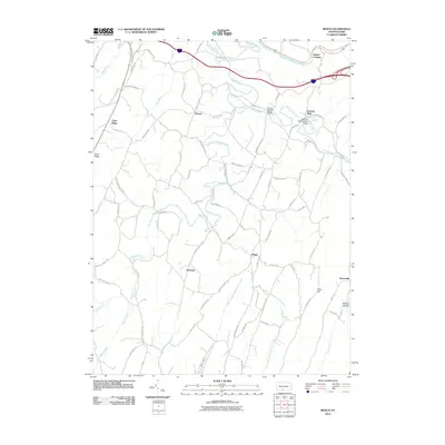 2010 Mench2010 Print · USGSCovers Brush Creek Township, including East Providence Township, Jackson Mills, and other nearby areas
 - 2010 Map of Hustontown, 2010 Print
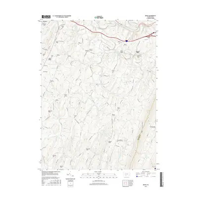
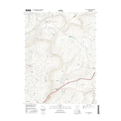
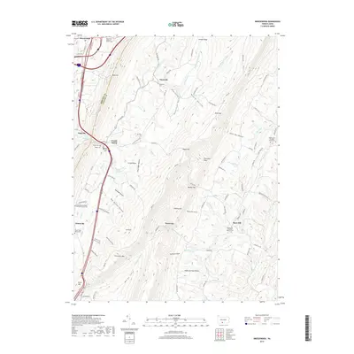
 2010 Hustontown2010 Print · USGSCovers Brush Creek Township, including Laidig, Hustontown, and other nearby areas
 - 2010 Map of Needmore, 2010 Print
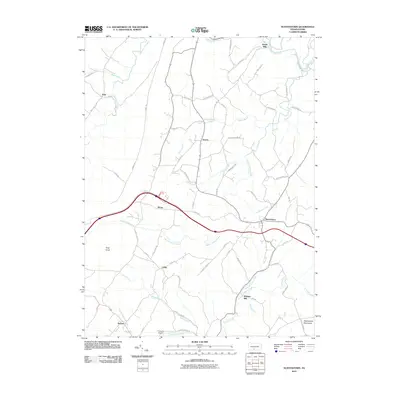
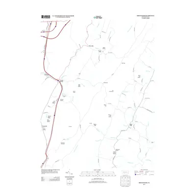
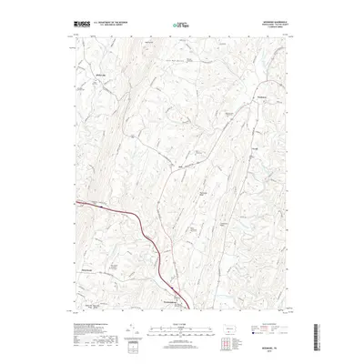
 2010 Needmore2010 Print · USGSCovers Brush Creek Township, including Bethel Township, Thompson Township, and other nearby areas
 - 2013 Map of Hustontown, 2013 Print
 2013 Hustontown2013 Print · USGSCovers Brush Creek Township, including Laidig, Hustontown, and other nearby areas
 - 2013 Map of Wells Tannery, 2013 Print
 2013 Wells Tannery2013 Print · USGSCovers Brush Creek Township, including Valley-Hi, East Providence Township, and other nearby areas
 - 2013 Map of Breezewood, 2013 Print
 2013 Breezewood2013 Print · USGSCovers Brush Creek Township, including East Providence Township, Gapsville, and other nearby areas
 - 2013 Map of Mench, 2013 Print
 2013 Mench2013 Print · USGSCovers Brush Creek Township, including East Providence Township, Jackson Mills, and other nearby areas
 - 2013 Map of Needmore, 2013 Print
 2013 Needmore2013 Print · USGSCovers Brush Creek Township, including Bethel Township, Thompson Township, and other nearby areas
 - 2016 Map of Mench, 2016 Print
 2016 Mench2016 Print · USGSCovers Brush Creek Township, including East Providence Township, Jackson Mills, and other nearby areas
 - 2016 Map of Breezewood, 2016 Print
 2016 Breezewood2016 Print · USGSCovers Brush Creek Township, including East Providence Township, Gapsville, and other nearby areas
 - 2016 Map of Needmore, 2016 Print
 2016 Needmore2016 Print · USGSCovers Brush Creek Township, including Bethel Township, Thompson Township, and other nearby areas
 - 2016 Map of Wells Tannery, 2016 Print
 2016 Wells Tannery2016 Print · USGSCovers Brush Creek Township, including Valley-Hi, East Providence Township, and other nearby areas
 - 2016 Map of Hustontown, 2016 Print
 2016 Hustontown2016 Print · USGSCovers Brush Creek Township, including Laidig, Hustontown, and other nearby areas
 - 2019 Map of Mench, 2019 Print
 2019 Mench2019 Print · USGSCovers Brush Creek Township, including East Providence Township, Jackson Mills, and other nearby areas
 - 2019 Map of Needmore, 2019 Print
 2019 Needmore2019 Print · USGSCovers Brush Creek Township, including Bethel Township, Thompson Township, and other nearby areas
 - 2019 Map of Breezewood, 2019 Print
 2019 Breezewood2019 Print · USGSCovers Brush Creek Township, including East Providence Township, Gapsville, and other nearby areas
 - 2019 Map of Hustontown, 2019 Print
 2019 Hustontown2019 Print · USGSCovers Brush Creek Township, including Laidig, Hustontown, and other nearby areas
 - 2019 Map of Wells Tannery, 2019 Print
 2019 Wells Tannery2019 Print · USGSCovers Brush Creek Township, including Valley-Hi, East Providence Township, and other nearby areas
 - 2023 Map of Hustontown, 2023 Print
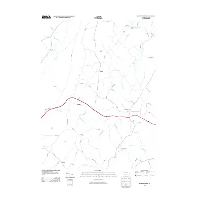
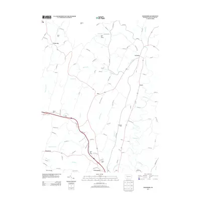
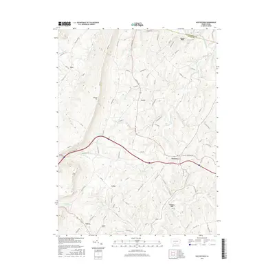
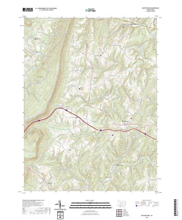 2023 Hustontown2023 Print · USGSFulton County and the eastern slopes of Sideling Hill are documented here in recent detail. Researchers can trace rural legacy through many family-named landmarks like Mellotts Mill and local burial sites such as Winegardner Cem and Fairview Cem.
 - 2023 Map of Mench, 2023 Print
 2023 Mench2023 Print · USGSBedford and Fulton County ridges come alive in this recent survey of the rural landscape between Mench and Emmaville. Genealogists can trace family burial sites including Dibert Farm Cem and Cherry Lane Brethren Cem among the hollows of Rays Hill.
 - 2023 Map of Amaranth, 2023 Print
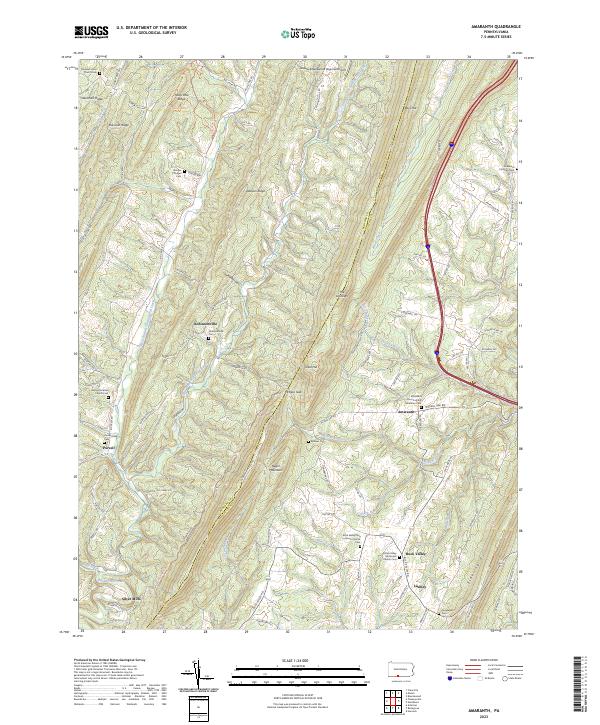 2023 Amaranth2023 Print · USGSSettled along the steep ridges of the Pennsylvania highlands, this area shows its agricultural and spiritual roots in the twenty-first century. Genealogists can locate family landmarks like Robinsonville Cem, Purcell, and Shreves Chapel.
 - 2023 Map of Breezewood, 2023 Print
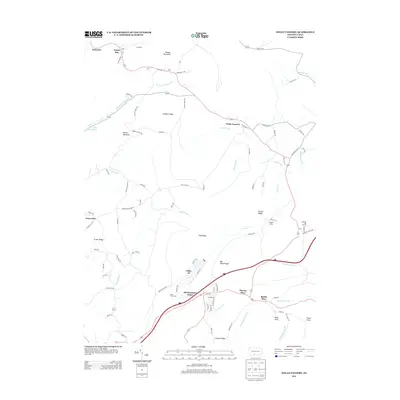
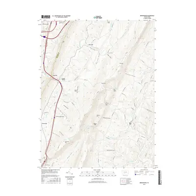
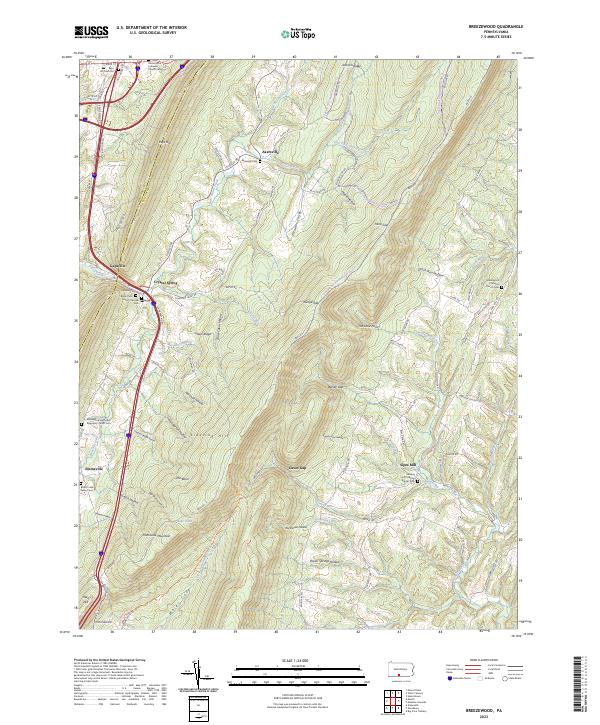 2023 Breezewood2023 Print · USGSThe ridge-and-valley country of Fulton and Bedford Counties is shown here in the 2020s, revealing a landscape of steep hollows and high summits. Genealogists can trace family burial sites at Rays Hill Cem Old, the Sideling Hill Christian Church Cem, and Akersville Cem.
 - 2023 Map of Needmore, 2023 Print
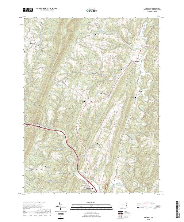 2023 Needmore2023 Print · USGSThe ridge-and-valley landscape of Fulton County is captured here in recent years, showing a rural network of farmsteads and mountain gaps. Genealogists can trace family names at the Needmore Bible Church Cem or find the small settlements of Warfordsburg and Flickerville.
Showing maps 1-25 of 26
Top cities near Brush Creek Township
- Everett historical maps
- Hancock historical maps
- McConnellsburg historical maps
- Hopewell historical maps
- Valley-Hi historical maps
Top neighborhoods of Brush Creek Township
- Budds Place historical maps
- Shortys Place historical maps
- Emmaville historical maps
- Akersville historical maps
- Old Mountain House historical maps
- Crystal Spring historical maps
See more
Frequently asked questions
- What are the different types of historical maps available for Brush Creek Township?
- What is the oldest map of Brush Creek Township?
- Where can I purchase historical maps of Brush Creek Township for my home or office?
- Where can I download high-res historical maps of Brush Creek Township?
- Are there historical topographic maps available for Brush Creek Township?
- Is there historical aerial imagery available for Brush Creek Township?
- Where are historical maps of Brush Creek Township sourced from?