Old Maps of Ardenheim, Henderson Township
Explore 14 old maps of Ardenheim, spanning from 1922 to today. These high-resolution historic maps reveal how streets, neighborhoods, landmarks, and natural features evolved over time — perfect for genealogy, metal detecting, research, and local history exploration.
What you can do with these maps:
- See how Ardenheim changed over time: Compare historical maps to modern-day views to trace roads, homesites, rail lines & more.
- View detailed metadata: Each map includes creators, publishers, year, scale, and archive source.
- Overlay maps with satellite & LiDAR: Visualize the past alongside modern tools to explore terrain & human change.
- Trusted historical sources: Maps sourced from the USGS, Library of Congress, and other archives.
- Access maps your way: View online, download high-res files, or order prints for personal or research use.
Start exploring old maps of Ardenheim to uncover forgotten places, hidden landmarks, and the deep history beneath your feet.
Ardenheim, Henderson Township maps
(14)- 1922 Map of Mt Union
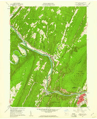
 1922 Mt Union1922 Print · USGSThe Juniata River valley in the early 1920s reveals a landscape shaped by the Pennsylvania RR and early motor routes like the Lincoln Highway. Genealogists can trace dozens of rural schoolhouses and vanished post offices, including Red Fork PO, Shirleysburg, and Lucy Furnace School.2 unique versions available
 - 1924 Map of Mt. Union
 1924 Mt. Union1924 Print · USGSMount Union and the central Juniata River valley are shown here in the mid-twenties as the rail-and-river economy flourished. Genealogists can locate dozens of named rural schools like Smoke School and old post offices such as Shade Valley P.O.4 unique versions available
 - 1944 Map of Mt. Union
 1944 Mt. Union1944 Print · USGSThe Juniata River valley and the ridges of Huntingdon and Mifflin counties are shown here at the peak of the rail era. Genealogists and historians can trace the locations of dozens of vanished schoolhouses like Lucy Furnace Sch and rural outposts like Atkinson Mills or Mapleton Depot.
 - 1950 Map of Harrisburg, 1952 Print
 1950 Harrisburg1952 Print · USGSMid-century Central Pennsylvania comes alive through its dense rail networks and river valley settlements during the post-war industrial era. Genealogists and historians can trace family roots through hubs like Harrisburg, locate Carlisle Barracks, or follow the Pennsylvania RR through the Lebanon Valley.
 - 1957 Map of Harrisburg
 1957 Harrisburg1957 Print · USGSMid-century Central Pennsylvania comes into focus as a bustling network of rail, river, and mountain ridges. Genealogists and historians can trace the development of the State Capitol and surrounding hubs like Middletown, Columbia, and Pottsville.7 unique versions available
 - 1959 Map of Mount Union, 1961 Print
 1959 Mount Union1961 Print · USGSThe Juniata River and Pennsylvania Railroad dominate this mountain landscape during the late fifties, cutting through the formidable water gap at Jacks Narrows. Genealogists and historians can trace industrial roots at Lucy Furnace or locate family sites at Old White Church Cem and Mapleton Depot.3 unique versions available
 - 1961 Map of Harrisburg
 1961 Harrisburg1961 Print · USGSCentral Pennsylvania is shown at a mid-century peak of industrial and military activity, from the Susquehanna water gaps to the fertile Dutch Country. Genealogists and historians can trace the rail corridors of the Pennsylvania RR and find landmarks like Carlisle Barracks or the Anthracite Coal Fields.2 unique versions available
 - 1964 Map of Harrisburg
 1964 Harrisburg1964 Print · USGSCentral Pennsylvania in the mid-fifties reveals a landscape shaped by ridge-and-valley geology and critical Cold War infrastructure. Researchers can trace the massive Indiantown Gap Military Reservation or the rail corridors of the Pennsylvania RR and Reading RR.
 - 1984 Map of Carlisle, 1985 Print
 1984 Carlisle1985 Print · USGSSouth-central Pennsylvania is shown during the mid-eighties as a hub of military activity and mountain transit. Genealogists and historians can trace the development of Carlisle Barracks and Letterkenny Army Depot, alongside rail routes like Conrail.2 unique versions available
 - 2010 Map of Mount Union, 2010 Print
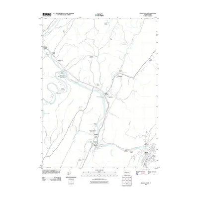 2010 Mount Union2010 Print · USGSCovers Ardenheim, including Huntingdon, Mount Union, and other nearby areas
 - 2013 Map of Mount Union, 2013 Print
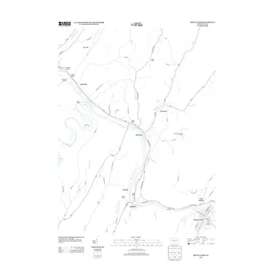 2013 Mount Union2013 Print · USGSCovers Ardenheim, including Huntingdon, Mount Union, and other nearby areas
 - 2016 Map of Mount Union, 2016 Print
 2016 Mount Union2016 Print · USGSCovers Ardenheim, including Huntingdon, Mount Union, and other nearby areas
 - 2019 Map of Mount Union, 2019 Print
 2019 Mount Union2019 Print · USGSCovers Ardenheim, including Huntingdon, Mount Union, and other nearby areas
 - 2023 Map of Mount Union, 2023 Print
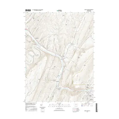
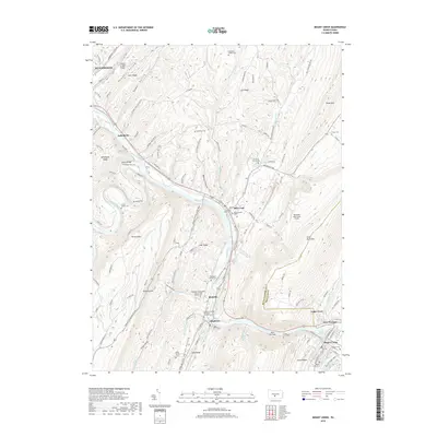
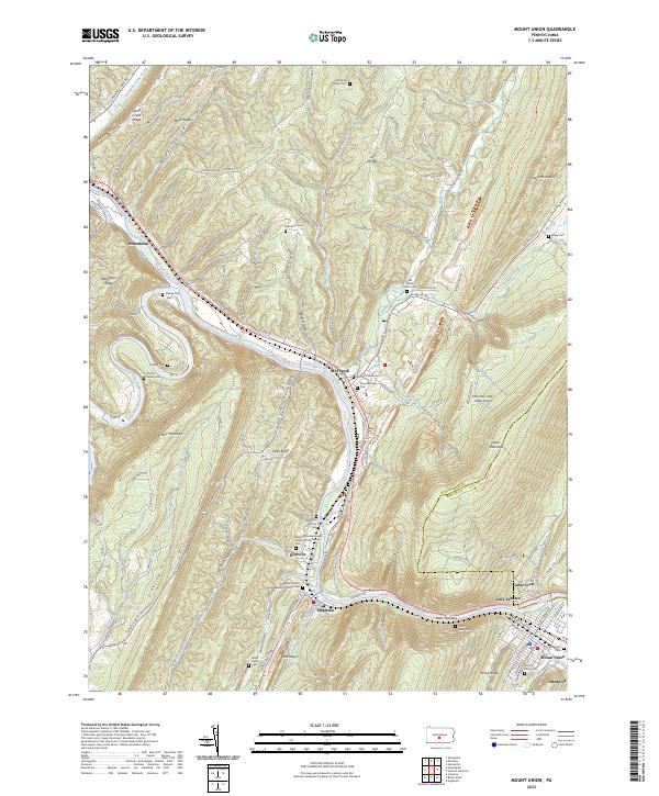 2023 Mount Union2023 Print · USGSThe Juniata River gap at Jacks Narrows defines this central Pennsylvania landscape during the early twenty-first century. Genealogists can trace family footprints at the Old White Church Cem, Hampson Family Cem, and the industrial site at Lucy Furnace.
End of results
Showing maps 1-14 of 14
Top cities near Ardenheim
- Huntingdon historical maps
- Mount Union historical maps
- Menno Township historical maps
- Warriors Mark Township historical maps
- Williamsburg historical maps
- Todd Township historical maps
See more
Frequently asked questions
- What are the different types of historical maps available for Ardenheim?
- What is the oldest map of Ardenheim?
- Where can I purchase historical maps of Ardenheim for my home or office?
- Where can I download high-res historical maps of Ardenheim?
- Are there historical topographic maps available for Ardenheim?
- Is there historical aerial imagery available for Ardenheim?
- Where are historical maps of Ardenheim sourced from?