Old Maps of Lack Township, Pennsylvania
Explore 47 old maps of Lack Township, spanning from 1919 to today. These high-resolution historic maps reveal how streets, neighborhoods, landmarks, and natural features evolved over time — perfect for genealogy, metal detecting, research, and local history exploration.
What you can do with these maps:
- See how Lack Township changed over time: Compare historical maps to modern-day views to trace roads, homesites, rail lines & more.
- View detailed metadata: Each map includes creators, publishers, year, scale, and archive source.
- Overlay maps with satellite & LiDAR: Visualize the past alongside modern tools to explore terrain & human change.
- Trusted historical sources: Maps sourced from the USGS, Library of Congress, and other archives.
- Access maps your way: View online, download high-res files, or order prints for personal or research use.
Start exploring old maps of Lack Township to uncover forgotten places, hidden landmarks, and the deep history beneath your feet.
Lack Township, PA maps
(47)- 1919 Map of Mattawana
 1919 Mattawana1919 Print · USGSCentral Pennsylvania's ridge-and-valley network is captured here at the end of the Great War, showing a landscape defined by small mill towns and diverging rail lines. Genealogists can trace family names and ancestral homes in McCulloch Mills, E. Waterford, and Blairs Mills.
 - 1922 Map of Mt Union
 1922 Mt Union1922 Print · USGSThe Juniata River valley in the early 1920s reveals a landscape shaped by the Pennsylvania RR and early motor routes like the Lincoln Highway. Genealogists can trace dozens of rural schoolhouses and vanished post offices, including Red Fork PO, Shirleysburg, and Lucy Furnace School.2 unique versions available
 - 1924 Map of Mt. Union
 1924 Mt. Union1924 Print · USGSMount Union and the central Juniata River valley are shown here in the mid-twenties as the rail-and-river economy flourished. Genealogists can locate dozens of named rural schools like Smoke School and old post offices such as Shade Valley P.O.4 unique versions available
 - 1936 Map of East Waterford
 1936 East Waterford1936 Print · USGSThe ridge-and-valley corridor of Juniata and Perry Counties is captured here in the mid-1930s, showing a landscape defined by narrow mountain gaps and small milling hubs. Researchers can trace ancestral roots through dozens of rural schools and churches, including McCulloughs Mills, Honey Grove, and Fairview Ch and Sch.2 unique versions available
 - 1941 Map of East Waterford
 1941 East Waterford1941 Print · USGSThe Ridge-and-Valley province of Central Pennsylvania appears here in the years before the war, dominated by the great parallel spans of Tuscarora Mountain. Genealogists can locate family sites among numerous rural institutions like Pine Glen Ch, McCullochs Mills, and the CCC Camp at East Waterford.3 unique versions available
 - 1944 Map of Mt. Union
 1944 Mt. Union1944 Print · USGSThe Juniata River valley and the ridges of Huntingdon and Mifflin counties are shown here at the peak of the rail era. Genealogists and historians can trace the locations of dozens of vanished schoolhouses like Lucy Furnace Sch and rural outposts like Atkinson Mills or Mapleton Depot.
 - 1950 Map of Harrisburg, 1952 Print
 1950 Harrisburg1952 Print · USGSMid-century Central Pennsylvania comes alive through its dense rail networks and river valley settlements during the post-war industrial era. Genealogists and historians can trace family roots through hubs like Harrisburg, locate Carlisle Barracks, or follow the Pennsylvania RR through the Lebanon Valley.
 - 1957 Map of Harrisburg
 1957 Harrisburg1957 Print · USGSMid-century Central Pennsylvania comes into focus as a bustling network of rail, river, and mountain ridges. Genealogists and historians can trace the development of the State Capitol and surrounding hubs like Middletown, Columbia, and Pottsville.7 unique versions available
 - 1959 Map of Newton Hamilton, 1961 Print
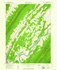 1959 Newton Hamilton1961 Print · USGSThe Juniata River and its railroad corridor define this Mifflin County landscape in the late fifties. Genealogists and local historians can locate Newton Hamilton, Atkinson Mills, and rural landmarks like Brush Run Union Ch or the Center Sch.3 unique versions available
 - 1959 Map of Aughwick, 1961 Print
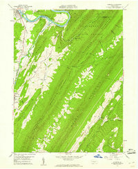 1959 Aughwick1961 Print · USGSThe ridges and valleys of Huntingdon and Mifflin Counties are shown here during the late fifties as small farming and industrial communities like Shirleysburg and Kistler thrived. Researchers can find numerous historic burial sites, including McGarvey Cem, and landmarks such as the American Legion Country Club along the Juniata River.3 unique versions available
 - 1960 Map of Mc Coysville, 1962 Print
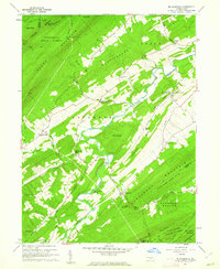 1960 Mc Coysville1962 Print · USGSJuniata County in the early sixties remains a landscape of traditional crossroads and mountain gaps. Genealogists can trace family footprints at McCullochs Mills, McCoysville Cem, and the small settlement of Honey Grove.3 unique versions available
 - 1960 Map of Blain, 1963 Print
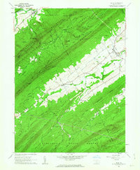 1960 Blain1963 Print · USGSPerry County saw its rural landscape and small-town centers well-established by the early sixties. Researchers can trace family history through Three Springs Ch, locate the cemetery near Blain, and explore mountain gaps like Winns Gap.4 unique versions available
 - 1960 Map of Blairs Mills, 1963 Print
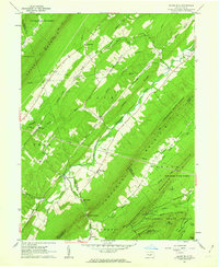 1960 Blairs Mills1963 Print · USGSJuniata and Franklin Counties are documented here in the early 1960s, showing a landscape shaped by parallel ridges and the winding Tuscarora Creek. Researchers can trace rural lineages through Blairs Mills, McCabe Chapel, and the isolated McWilliams Cem.2 unique versions available
 - 1961 Map of Harrisburg
 1961 Harrisburg1961 Print · USGSCentral Pennsylvania is shown at a mid-century peak of industrial and military activity, from the Susquehanna water gaps to the fertile Dutch Country. Genealogists and historians can trace the rail corridors of the Pennsylvania RR and find landmarks like Carlisle Barracks or the Anthracite Coal Fields.2 unique versions available
 - 1961 Map of Mc Veytown, 1963 Print
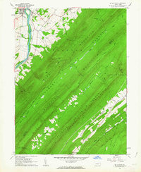 1961 Mc Veytown1963 Print · USGSMifflin County is defined by its dramatic mountain ridges and the winding Juniata River in the early sixties. Genealogists and local historians can trace family roots near McVeytown, Peru Mills, and the rural Pine Glen Ch nestled in the forest valleys.4 unique versions available
 - 1964 Map of Harrisburg
 1964 Harrisburg1964 Print · USGSCentral Pennsylvania in the mid-fifties reveals a landscape shaped by ridge-and-valley geology and critical Cold War infrastructure. Researchers can trace the massive Indiantown Gap Military Reservation or the rail corridors of the Pennsylvania RR and Reading RR.
 - 1984 Map of Carlisle, 1985 Print
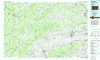 1984 Carlisle1985 Print · USGSSouth-central Pennsylvania is shown during the mid-eighties as a hub of military activity and mountain transit. Genealogists and historians can trace the development of Carlisle Barracks and Letterkenny Army Depot, alongside rail routes like Conrail.2 unique versions available
 - 2010 Map of Blain, 2010 Print
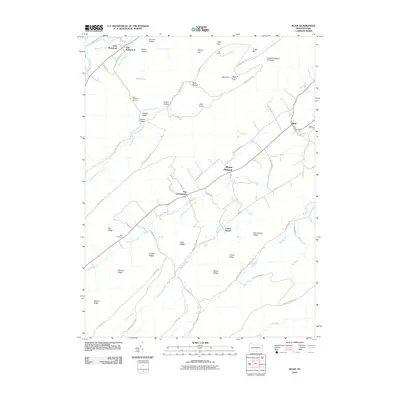 2010 Blain2010 Print · USGSPerry County's rural heartland and the ridges of the Appalachian Mountains are clearly defined in this early twenty-first-century survey. Genealogists and local historians can pinpoint Blain Cemetery, the settlement at New Germantown, and the old Blue Knob Lookout Tower.
 - 2010 Map of McVeytown, 2010 Print
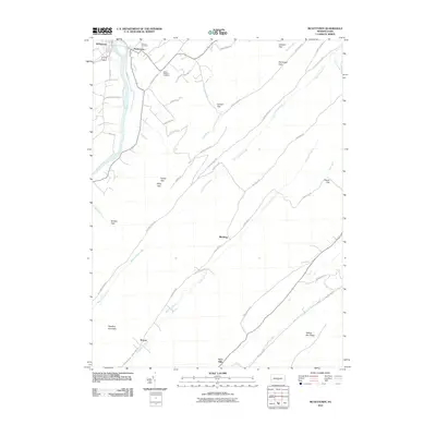 2010 McVeytown2010 Print · USGSMifflin County settlements sit along the Juniata River in the early twenty-first century, framed by the gaps of the Appalachian ridges. Genealogists and hikers can trace the roads through Bratton Gap, locate Hartzler Cemetery, or explore the rural surroundings of Peru Mills.
 - 2010 Map of McCoysville, 2010 Print
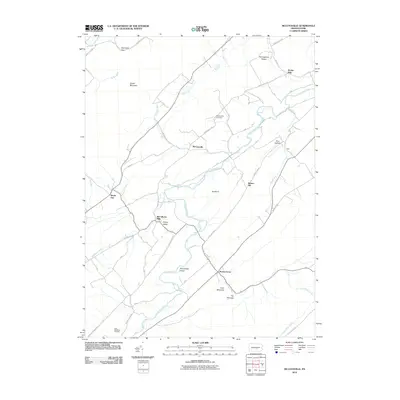 2010 McCoysville2010 Print · USGSJuniata County's agricultural valleys and steep ridges are captured here during the first decade of the millennium. Researchers can locate milling heritage and early settlements like McCullochs Mills, Honey Grove, and the McCoysville Cemetery.
 - 2010 Map of Blairs Mills, 2010 Print
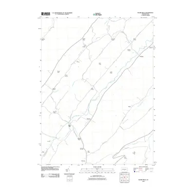 2010 Blairs Mills2010 Print · USGSJuniata County is seen here in the early twenty-first century, showing a landscape shaped by narrow valleys and historic stream-side settlements. Local historians can trace family locations near Blairs Mills, Waterloo, and several rural burial grounds like McWilliams Cemetery.
 - 2010 Map of Aughwick, 2010 Print
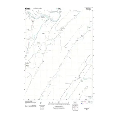 2010 Aughwick2010 Print · USGSThe valleys and ridges surrounding Shirleysburg are meticulously documented in this early 21st-century study of Huntingdon County. Genealogists can trace family heritage through over a dozen rural burial sites, including Bethel Cemetery, Nebo Cemetery, and the Otelia Mennonite Church Cemetery.
 - 2010 Map of Newton Hamilton, 2010 Print
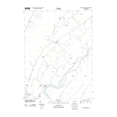 2010 Newton Hamilton2010 Print · USGSThe riverfront communities of Mifflin County are captured here in the early twenty-first century as they line the banks of the Juniata River. Genealogists and local historians can trace family-named sites like Irvin Hill, Atkinson Mills, and the Methodist Training Camp.
 - 2013 Map of Blain, 2013 Print
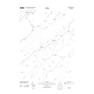 2013 Blain2013 Print · USGSThe rural valleys of Perry County are captured here in the early twenty-first century as agricultural and forest lands remain well-defined by their ridges. Researchers can locate family landmarks and rural crossroads like New Germantown, Center Square, and the Blue Knob Lookout Tower.
 - 2013 Map of Aughwick, 2013 Print
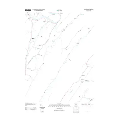 2013 Aughwick2013 Print · USGSHuntingdon County is mapped here in the early 2010s, showing the ridges and valleys between the Juniata River and the Tuscarora Mountains. Researchers can trace local history through the streets of Shirleysburg or locate landmarks like Beacon Lodge and Mine Bank Ridge.
Showing maps 1-25 of 47
Top cities near Lack Township
- Lewistown historical maps
- Granville Township historical maps
- Mount Union historical maps
- Lurgan Township historical maps
- Menno Township historical maps
- Metal Township historical maps
See more
Top neighborhoods of Lack Township
- Peru Mills historical maps
- Waterloo historical maps
- Perulack historical maps
- Krause historical maps
- Blacklog historical maps
- Cross Keys historical maps
See more
Frequently asked questions
- What are the different types of historical maps available for Lack Township?
- What is the oldest map of Lack Township?
- Where can I purchase historical maps of Lack Township for my home or office?
- Where can I download high-res historical maps of Lack Township?
- Are there historical topographic maps available for Lack Township?
- Is there historical aerial imagery available for Lack Township?
- Where are historical maps of Lack Township sourced from?