Old Maps of Mount Joy Township, Pennsylvania
Explore 48 old maps of Mount Joy Township, spanning from 1902 to today. These high-resolution historic maps reveal how streets, neighborhoods, landmarks, and natural features evolved over time — perfect for genealogy, metal detecting, research, and local history exploration.
What you can do with these maps:
- See how Mount Joy Township changed over time: Compare historical maps to modern-day views to trace roads, homesites, rail lines & more.
- View detailed metadata: Each map includes creators, publishers, year, scale, and archive source.
- Overlay maps with satellite & LiDAR: Visualize the past alongside modern tools to explore terrain & human change.
- Trusted historical sources: Maps sourced from the USGS, Library of Congress, and other archives.
- Access maps your way: View online, download high-res files, or order prints for personal or research use.
Start exploring old maps of Mount Joy Township to uncover forgotten places, hidden landmarks, and the deep history beneath your feet.
Mount Joy Township, PA maps
(48)- 1902 Map of Lancaster, 1956 Print
 1902 Lancaster1956 Print · USGSLancaster County at the opening of the twentieth century shows a landscape defined by iron furnaces, milling, and a sophisticated network of electric railways. Genealogists and historians can trace the paths of the New Holland Electric or locate family sites near Gevers Mill and Elizabeth Furnace.
 - 1904 Map of Lancaster
 1904 Lancaster1904 Print · USGSLancaster and its surrounding townships thrive at the turn of the century, depicted here through a complex web of trolley lines and steam railroads. Genealogists can trace family homesteads near old crossroads like Mastersonville or locate early industrial sites at Mount Hope and Geyers Mill.10 unique versions available
 - 1908 Map of Middletown
 1908 Middletown1908 Print · USGSThe Susquehanna River corridor thrives in the early 1900s as a hub for the Pennsylvania Railroad and the burgeoning industry of Lancaster and Dauphin counties. Researchers can trace the path of the Pennsylvania Canal (Abandoned) and locate family-named landmarks like Shocks Mills or Hoffer Church.7 unique versions available
 - 1943 Map of Lancaster
 1943 Lancaster1943 Print · USGSLancaster County at the height of the second World War reveals a landscape defined by bustling rail hubs and thriving farm villages. Genealogists and historians can trace family roots through numerous small hamlets like Brunnerville, industrial sites at Elizabeth Furnace Gap, and recreation spots like Rocky Spring Park.
 - 1943 Map of Middletown
 1943 Middletown1943 Print · USGSAs World War II mobilization reached its peak, this survey captures the Susquehanna River corridor as a vital industrial and rail artery. Genealogists and researchers can trace family landmarks like Donegal Springs Church, Codorus Furnace, and the early layout of Three Mile Island.
 - 1950 Map of Harrisburg, 1952 Print
 1950 Harrisburg1952 Print · USGSMid-century Central Pennsylvania comes alive through its dense rail networks and river valley settlements during the post-war industrial era. Genealogists and historians can trace family roots through hubs like Harrisburg, locate Carlisle Barracks, or follow the Pennsylvania RR through the Lebanon Valley.
 - 1955 Map of Manheim, 1957 Print
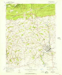 1955 Manheim1957 Print · USGSMid-century Lancaster County life centers on the borough of Manheim as the local rail and road networks reached their peak. Trace family history through numerous rural landmarks like Gantzs Ch, Mastersonville, and the Shoemaker Cem burial grounds.6 unique versions available
 - 1956 Map of Columbia East, 1957 Print
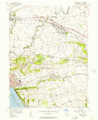 1956 Columbia East1957 Print · USGSLancaster County's industrial and rural crossroads are captured here in the mid-fifties, showing the heavy rail influence on local growth. Trace family roots and vanished landmarks like McGuinness Airport, St Josephs Academy, and the village of Silver Spring.5 unique versions available
 - 1956 Map of Middletown, 1959 Print
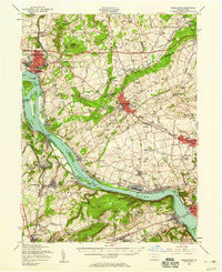 1956 Middletown1959 Print · USGSThe Susquehanna River corridor bustles with Cold War-era industry and riverside life in the mid-1950s. Genealogists and local researchers can trace family landmarks like Shenks Cem, identify regional education hubs such as Elizabethville College, or locate the sprawling Olmsted AFB.2 unique versions available
 - 1957 Map of Harrisburg
 1957 Harrisburg1957 Print · USGSMid-century Central Pennsylvania comes into focus as a bustling network of rail, river, and mountain ridges. Genealogists and historians can trace the development of the State Capitol and surrounding hubs like Middletown, Columbia, and Pottsville.7 unique versions available
 - 1961 Map of Harrisburg
 1961 Harrisburg1961 Print · USGSCentral Pennsylvania is shown at a mid-century peak of industrial and military activity, from the Susquehanna water gaps to the fertile Dutch Country. Genealogists and historians can trace the rail corridors of the Pennsylvania RR and find landmarks like Carlisle Barracks or the Anthracite Coal Fields.2 unique versions available
 - 1963 Map of Middletown, 1965 Print
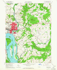 1963 Middletown1965 Print · USGSMiddletown and the lower Susquehanna River are captured in the early sixties as military and rail infrastructure dominated the shoreline. Trace family history and local industry through Olmsted AF Base, St Peters Ch, and the many islands like Three Mile Island.5 unique versions available
 - 1964 Map of Harrisburg
 1964 Harrisburg1964 Print · USGSCentral Pennsylvania in the mid-fifties reveals a landscape shaped by ridge-and-valley geology and critical Cold War infrastructure. Researchers can trace the massive Indiantown Gap Military Reservation or the rail corridors of the Pennsylvania RR and Reading RR.
 - 1964 Map of Elizabethtown, 1965 Print
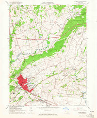 1964 Elizabethtown1965 Print · USGSElizabethtown and the surrounding Lancaster and Dauphin County townships are captured here in the mid-1960s. Genealogists and historians can trace family-named sites and rural institutions like St Calvary Ch, Mt Tunnel Cem, and the Masonic Home.4 unique versions available
 - 1964 Map of Columbia West, 1965 Print
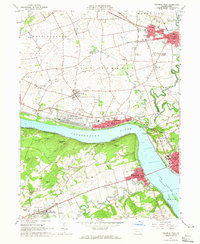 1964 Columbia West1965 Print · USGSThe Susquehanna River corridor thrives in the mid-sixties, showing the industrial and military footprint of the Marietta Air Force Station. Researchers can trace old family names and sites at Donegal Ch, Eberly Cem, and Lauxmont Farms.5 unique versions available
 - 1984 Map of Harrisburg, 1985 Print
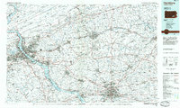 1984 Harrisburg1985 Print · USGSCentral Pennsylvania in the mid-eighties shows a landscape defined by the winding Susquehanna River and the industrial growth of its river towns. Researchers can trace the rail corridors of Amtrak and Conrail or explore the bounds of Fort Indiantown Gap Military Reservation.2 unique versions available
 - 1995 Map of Columbia East, 1996 Print
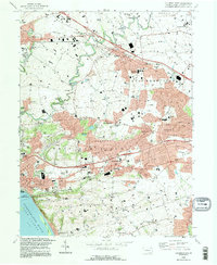 1995 Columbia East1996 Print · USGSThe Susquehanna River shoreline near Columbia was a hub of transit and community in the mid-1990s. Genealogists and local historians can trace family-named sites and vanished landmarks like Bruckarts Station, Habecker Ch, and Metzgers Indian Cave.
 - 1995 Map of Manheim, 1996 Print
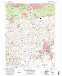 1995 Manheim1996 Print · USGSManheim and the surrounding Lancaster County farmland are captured in the mid-nineties, showing the balance between borough growth and rural tradition. Genealogists and local historians can locate many country landmarks, from Hernley Ch and Fairview Cemetery to the historic Covered Bridge.
 - 1997 Map of Columbia West, 1999 Print
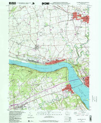 1997 Columbia West1999 Print · USGSThe Susquehanna River corridor thrives in the late nineties as a hub of rail activity and riverfront industry between Lancaster and York. Genealogists can locate family landmarks like Eberly Cem, Donegal Springs, and schools such as Kraybill Sch.
 - 1997 Map of Manheim, 2000 Print
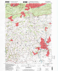 1997 Manheim2000 Print · USGSManheim and the surrounding Lebanon and Lancaster County borderlands are shown here at the close of the nineties. Genealogists and local historians can trace family-named sites like Gantz Ch and Fairview Cemetery or locate the old rail-and-road crossroads at Lancaster Junction.
 - 1997 Map of Columbia East, 2000 Print
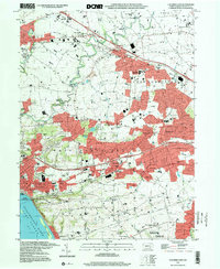 1997 Columbia East2000 Print · USGSLancaster County at the end of the century reveals a landscape of growing boroughs and deep-rooted rural landmarks between the river and the hills. Researchers can trace family sites at Habecker Ch, locate Bruckarts Station, or explore the riverfront at COLUMBIA.
 - 1999 Map of Middletown, 2001 Print
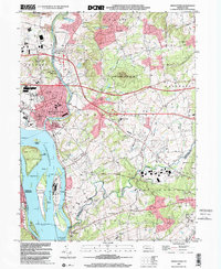 1999 Middletown2001 Print · USGSThe Lower Susquehanna valley at the turn of the millennium shows a complex mix of industrial infrastructure and rural traditions. Researchers can trace the development of Middletown and Royalton or locate family sites like Stoverdale Ch and Goldsboro (Etters PO).
 - 1999 Map of Elizabethtown, 2001 Print
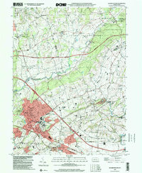 1999 Elizabethtown2001 Print · USGSElizabethtown and the fertile borderlands of Lancaster and Dauphin counties are shown here just before the turn of the millennium. Genealogists can trace family names and sites through Oberholtzer Cem, Masonic Sch, and rural villages like Bellaire.
 - 2010 Map of Elizabethtown, 2010 Print
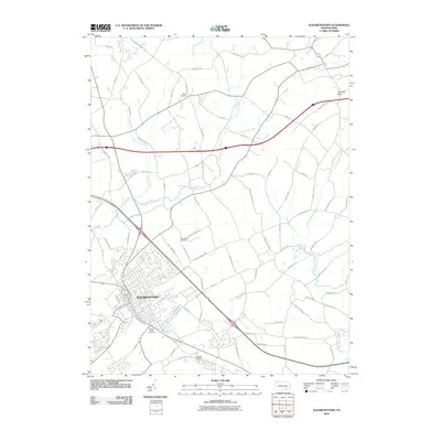 2010 Elizabethtown2010 Print · USGSElizabethtown and the surrounding Lancaster County countryside are shown in detail during the first decade of the 2000s. Genealogists and local historians can trace family-named roads and locate historic burial sites like Moyer Cemetery and Mount Tunnel Cemetery.
 - 2010 Map of Columbia West, 2010 Print
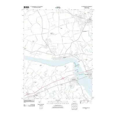 2010 Columbia West2010 Print · USGSThe riverfront communities of Lancaster and York Counties are seen here in the early twenty-first century as they border the Susquehanna River. Researchers can locate several historical burial sites like Eberly Cemetery and Brenneman Cemetery, or trace the landmarks of Chickies Rock and Hellam Hills.
Showing maps 1-25 of 48
Top cities near Mount Joy Township
- Lancaster historical maps
- York historical maps
- Lebanon historical maps
- Colonial Park historical maps
- Hershey historical maps
- Elizabethtown historical maps
See more
Top neighborhoods of Mount Joy Township
- Anchor historical maps
- Bellaire historical maps
- Beverly historical maps
- Milton Grove historical maps
- Aberdeen historical maps
Frequently asked questions
- What are the different types of historical maps available for Mount Joy Township?
- What is the oldest map of Mount Joy Township?
- Where can I purchase historical maps of Mount Joy Township for my home or office?
- Where can I download high-res historical maps of Mount Joy Township?
- Are there historical topographic maps available for Mount Joy Township?
- Is there historical aerial imagery available for Mount Joy Township?
- Where are historical maps of Mount Joy Township sourced from?