2000s (21st Century) Maps of South Annville Township, Pennsylvania
Explore 10 historic maps of South Annville Township from the 2000s (21st Century). These maps offer a rare glimpse into what life looked like during the 2000s — showing old roads, neighborhoods, homes, and landmarks that have changed or disappeared over time.
Whether you're researching your family's past, planning a metal detecting trip, or studying how South Annville Township's landscape evolved across the 2000s, these high-resolution maps are a powerful tool for exploring the history of this region.
- Focus on a specific era: All maps on this page are from the 2000s, giving you a focused view of this time period.
- See what’s changed: Compare century-old streets, trails, and buildings to today's modern landscape using overlays and satellite layers.
- Research with precision: Use these maps for genealogy, historical research, land use analysis, or educational projects.
- View, download, or print: Maps are fully viewable online in high resolution, and can be downloaded or printed for your own records.
Start exploring South Annville Township's history through authentic maps from the 2000s. This is your window into the past.
South Annville Township, PA maps
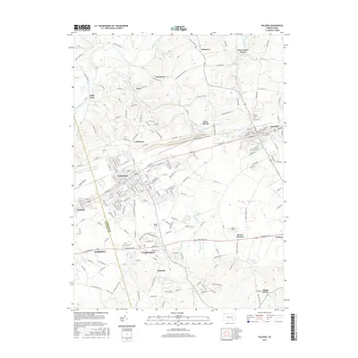
(10)- 2010 Map of Palmyra, 2010 Print
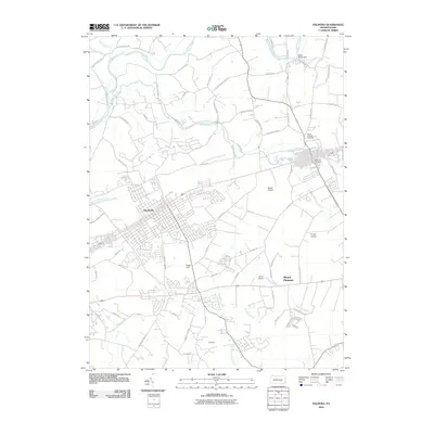 2010 Palmyra2010 Print · USGSCovers South Annville Township, including Hershey, Palmyra, and other nearby areas
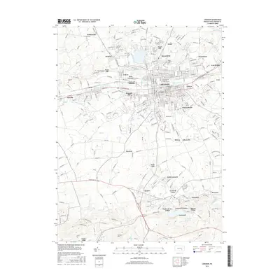
 - 2010 Map of Lebanon, 2010 Print
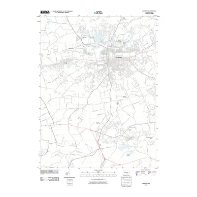 2010 Lebanon2010 Print · USGSCovers South Annville Township, including Lebanon, North Cornwall, and other nearby areas
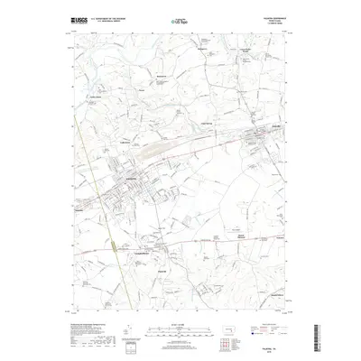
 - 2013 Map of Palmyra, 2013 Print
 2013 Palmyra2013 Print · USGSCovers South Annville Township, including Hershey, Palmyra, and other nearby areas
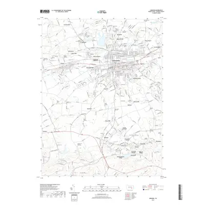
 - 2013 Map of Lebanon, 2013 Print
 2013 Lebanon2013 Print · USGSCovers South Annville Township, including Lebanon, North Cornwall, and other nearby areas
 - 2016 Map of Palmyra, 2016 Print
 2016 Palmyra2016 Print · USGSCovers South Annville Township, including Hershey, Palmyra, and other nearby areas
 - 2016 Map of Lebanon, 2016 Print
 2016 Lebanon2016 Print · USGSCovers South Annville Township, including Lebanon, North Cornwall, and other nearby areas
 - 2019 Map of Palmyra, 2019 Print
 2019 Palmyra2019 Print · USGSCovers South Annville Township, including Hershey, Palmyra, and other nearby areas
 - 2019 Map of Lebanon, 2019 Print
 2019 Lebanon2019 Print · USGSCovers South Annville Township, including Lebanon, North Cornwall, and other nearby areas
 - 2023 Map of Palmyra, 2023 Print
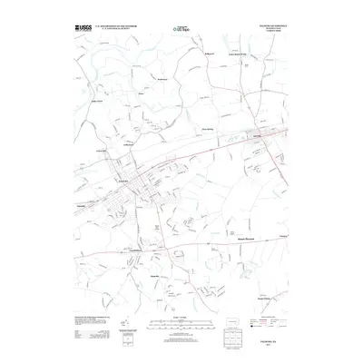
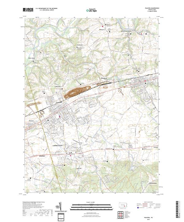 2023 Palmyra2023 Print · USGSThe Lebanon County corridor near the 2020s shows a landscape rich in religious heritage and historic transit routes. Genealogists can trace family lines through the Blauch Family Graveyard, Evergreen Cem, and the campus of Lebanon Valley College.
 - 2023 Map of Lebanon, 2023 Print
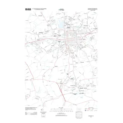
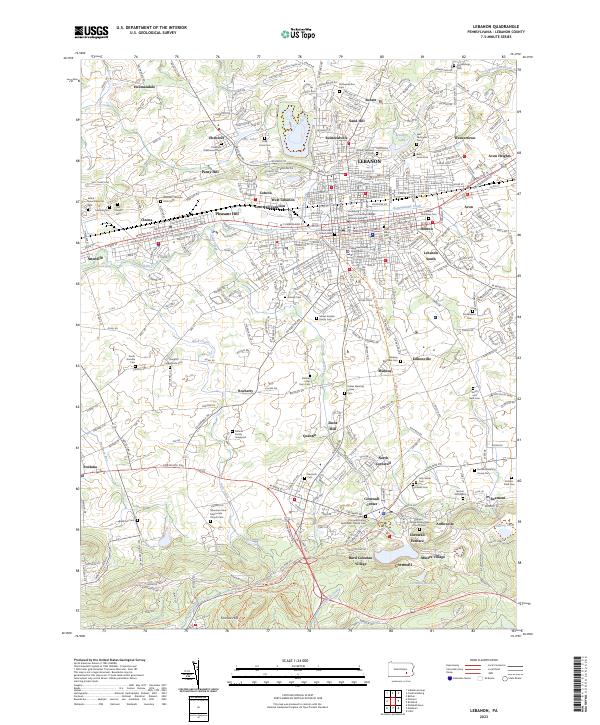 2023 Lebanon2023 Print · USGSIn the heart of Pennsylvania's Dutch Country, this map shows a landscape defined by its iron-making heritage and historic settlements. Genealogists can trace family lines through dozen of burial sites like the Moses Kreider Family Cem, while historians can locate the Cornwall Furnace and Burd Coleman Village.
End of results
Showing maps 1-10 of 10
Top cities near South Annville Township
- Lancaster historical maps
- Lebanon historical maps
- Hershey historical maps
- Elizabethtown historical maps
- Lititz historical maps
- Middletown historical maps
See more
Top neighborhoods of South Annville Township
Frequently asked questions
- What are the different types of historical maps available for South Annville Township?
- What is the oldest map of South Annville Township?
- Where can I purchase historical maps of South Annville Township for my home or office?
- Where can I download high-res historical maps of South Annville Township?
- Are there historical topographic maps available for South Annville Township?
- Is there historical aerial imagery available for South Annville Township?
- Where are historical maps of South Annville Township sourced from?